Those who grew up in the Midwest will tell you, “Midwest is where the best is.” And because it’s less traveled than other areas of the country, it’s also a lot cheaper to visit than the coasts or the American West. It’s for these reasons that I started my three-year, world-record road trip to all 400+ U.S. national parks in the Upper Midwest. From June until August 2016, I crossed Michigan, Wisconsin, Minnesota, and North Dakota, checking off every National Park Service site along the way.
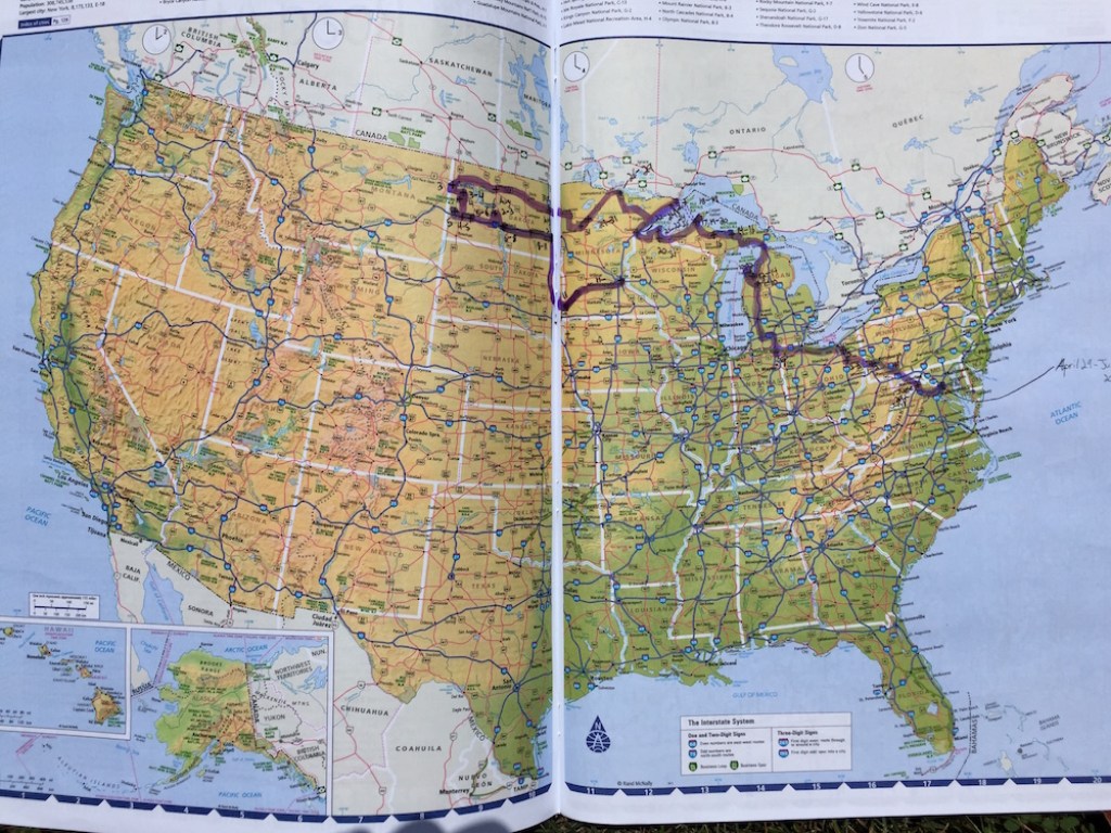
Photo: Mikah Meyer
After hiking every park site in the region, I picked my five favorites.
1. Unmarked Trail at Sleeping Bear Dunes National Lakeshore
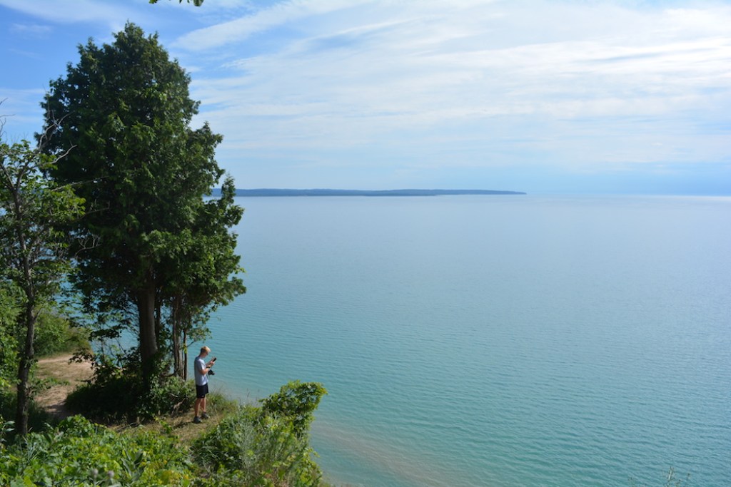
Sleeping Bear Dunes National Lakeshore | Photo: Mikah Meyer
“Unmarked?” you might ask. “Doesn’t that mean it’s not part of the national park?” Though it’s not on the official National Park Service map, this hike is squarely within the Sleeping Bear Dunes borders, and it only came to my attention through a local who heard about my journey and wanted to add some insider flare. This park unit is known for its long stretches of sandy beaches and 450-foot-tall bluffs along Lake Michigan.
To find this particular hike, head to the intersection of Stormer and Norconk Roads in the southernmost piece of this multi-unit national park (just south of the town of Empire, Michigan). Park on the side of the road, across from a quintessential red farmhouse. Walk behind the car barrier and down a dirt and grass path (large enough for a car) until you reach a fork at a white farm house and gray wood barn. Follow it to the left through a field and grove of young trees.
Stay on the path for a short walk through tall trees until you reach a dramatic cliff and equally contrasting view of Lake Michigan – this hike showcases both with splendor. Not only does it provide a stunning lakeside walk, but because it’s unlisted, it isn’t covered in tourists like the other trails, leaving you with unmatched solitude in this park that sees 1.5 million visitors per year.
Turn north and follow the thin dirt trail for as long as you’d like. You can either turn around and return to your car or, if you get dropped off, follow the shoreline until you connect with the next major road, Lake Michigan Drive, by the Robert H. Manning Memorial Lighthouse, approximately two miles up the coast.
2. Caprock Coulee Trail at Theodore Roosevelt National Park
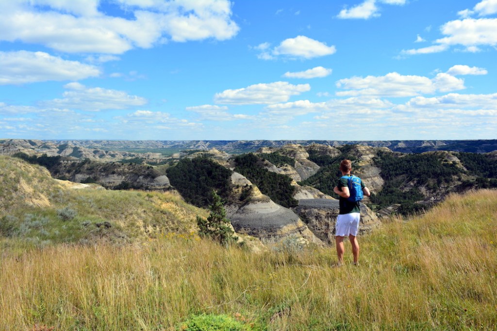
Caprock Coulee Trail at Theodore Roosevelt National Park | Photo: Mikah Meyer
Skipping over North Dakota because of its large prairie would be like ignoring an entire cake because you tasted the frosting. Underneath those vast golden prairies lays a diverse geology of colors and textures. Fortunately, in southwestern North Dakota, ancient glaciers cut away a large portion of the prairie so we can see what the earth looks like beneath that frosting. The stunning tapestry of views at Theodore Roosevelt National Park proves it’s a park that’s worth the drive.
My favorite hike was in the North Unit of this two-piece park. “Give me something that isn’t monotone,” I asked the ranger, and he delivered with the Caprock Coulee Trail. With geology and vistas seemingly changing every 15 minutes, even millennials with short attention spans will find this three-to-four-hour hike exciting.
3. Chapel Rock Trail at Pictured Rocks National Lakeshore
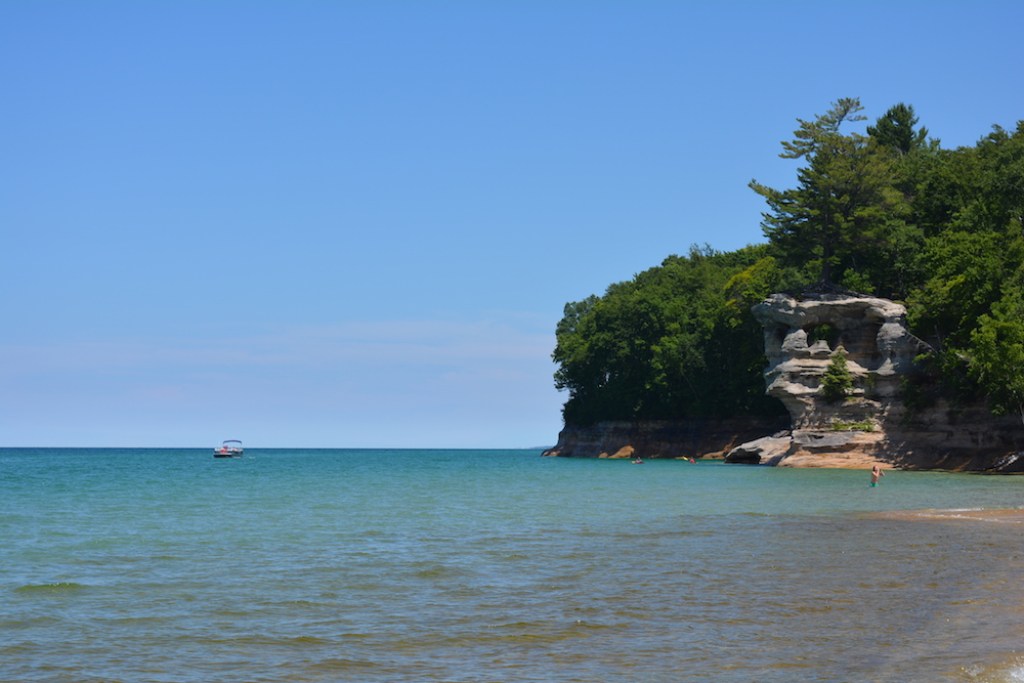
Chapel Rock Trail at Pictured Rocks National Lakeshore | Photo: Mikah Meyer
Flying to the Caribbean can be expensive, especially from the northern half of the United States. However, America’s Great Lakes offer an alternative that can visually replicate the islands (yes, seriously), and provide a similar swimming experience—if you’re incredibly brave.
At the top of that Caribbean-substitute list is Chapel Beach, named for the nearby Chapel Rock that survives through roots suspended in the air and onto the mainland. While Lake Superior itself is the coldest of the Great Lakes, you might appreciate reaching the icy water after the one-to-two-hour hike through the woods. If 50-degree water isn’t your thing, hang out in the waterfall or tide pools spilling into the lake; their shallow waters heat up from the warm sand and provide a sense of that warm Caribbean water.
4. Grand Portage Bay Overlook at Grand Portage National Monument
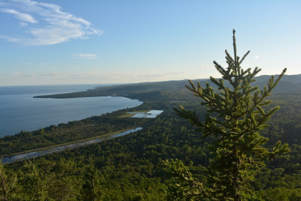
Grand Portage Bay Overlook at Grand Portage National Monument | Photo: Mikah Meyer
It’s a long three-hour drive from Duluth to the northeastern tip of Minnesota, but skirting the coast of Lake Superior also makes it incredibly gorgeous. Take your pick of highway pullouts and swim in one of the orange-hued rivers that spill down the iron-rich shoreline.
Once you reach Grand Portage National Monument, continue on Upper Road 17 beyond the Heritage Center, the Grand Portage Community Center, and take your first left immediately after seeing four rectangular lakes. After pulling into the small dirt parking lot, take the trail to the right for approximately 1.5 hours until you reach a crumbling lookout tower. Just to the left, you’ll receive a stunning view of Grand Portage Bay and the Grand Portage National Monument. This less-used trail not only gives you a more panoramic view than the heavily advertised Mount Rose Trail but also provides the opportunity to look across the nearby border into Canada.
5. Meyers Beach at Apostle Islands National Lakeshore
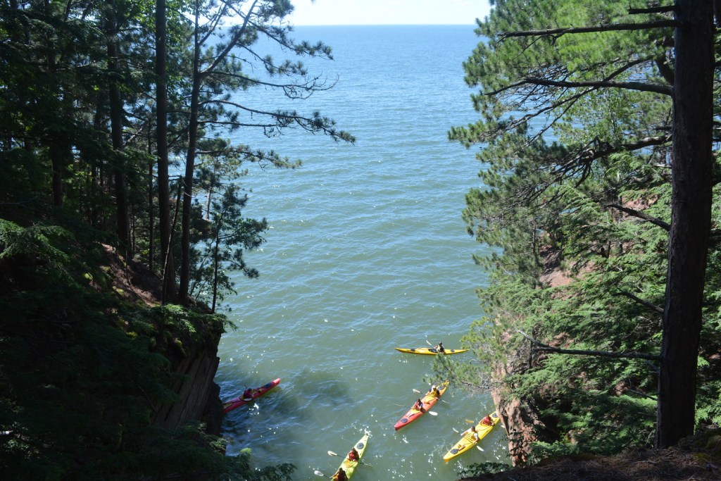
Meyers Beach at Apostle Islands National Lakeshore | Photo: Mikah Meyer
This is the Apostle Islands’ most popular hike, but it’s still less traveled than most of the trails you’ll see at places like Yosemite, Great Smoky Mountains and Grand Canyon National Parks. Beginning with long wood planks and turning into soft brush, this trail will eventually lead you to a large, inland sea cave created over centuries of lake water freezing and melting. After exploring, continue along the lakeshore ridge in hunt of additional dramatic, rocky views until you’re ready to head back to the Meyers Beach parking lot in the southwest corner of the National Lakeshore, just off of Highway 13 on Meyers Road. Warning: Don’t get too close to the edge of this trail or the rocks could collapse and you’ll fall into Lake Superior.
