Travel 3,100 miles along the Continental Divide all the way from the Mexico–New Mexico border to Glacier National Park at the Canadian border. Every year several hundred people attempt to hike the entire Continental Divide Trail over the course of six months, mostly from south to north, and thousands of others visit the trail to day hike, horseback ride and enjoy the landscapes of the Rocky Mountains.
Distance: 3,100 miles
States: New Mexico, Colorado, Wyoming, Idaho and Montana
Year Established: 1978
Best Times of Year to Visit: Year-round, depending on the section of trail

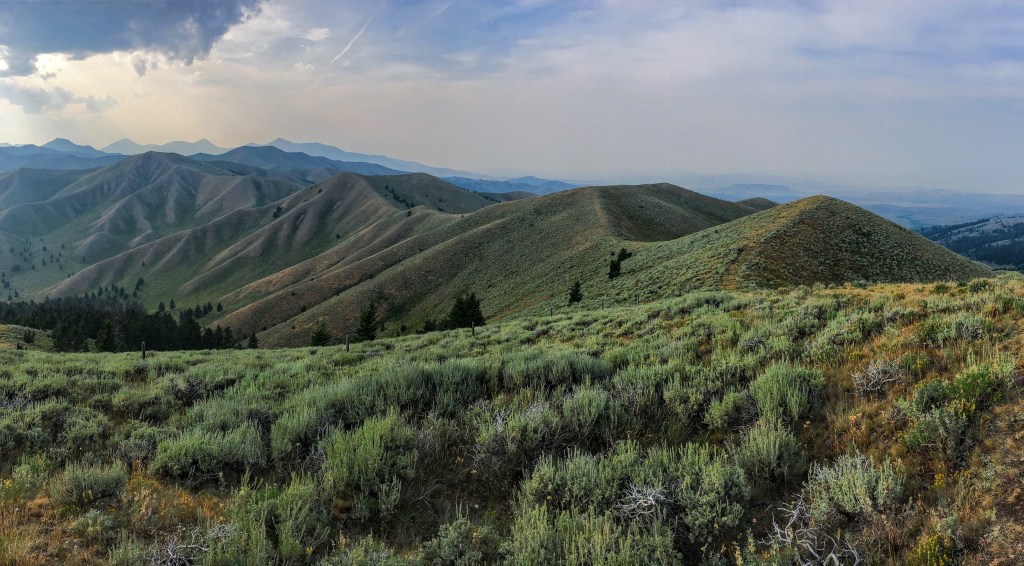
Caribou-Targhee National Forest, Idaho. Photo courtesy of Matt Berger.
Notable Spots Along Trail:
- Grays Peak (14,270 ft.) is the highest point not only along the CDT, but also on any National Scenic Trail.
- Mount Taylor is visible from up to 100 miles away. This stratovolcano, located in New Mexico, has long been a pilgrimage site for many Native American tribes. In particular, the Acoma people have a long history of traditions and cultural identity tied to this special place.
- Pie Town, New Mexico, was settled during the Dust Bowl as a pit stop in which westbound travelers could grab a slice of pie. Decades later, after traveling to Pie Town for the namesake treat, traveler Kathy Knapp was disappointed at what had virtually become a ghost town. In 1995, Knapp resurrected Pie Town’s origin and opened the Pie-O-Neer pie shop to keep the tradition and history alive.
Fun Facts, According to the Continental Divide Trail Coalition (CDTC):
- The CDT was originally called the Blue Can Trail, named for the founders who first imagined a trail along the Divide in Colorado, marking their path with blue tuna cans.
- In 2018, 300 individuals attempted to hike the trail end-to-end. To complete the trail in six months, hikers must average 17 miles per day.
- The CDT is now 95 percent complete. It’s located on public lands for 95 percent of its length.
- The CDT crosses six major watersheds, seven different ecoregions from desert to glaciers, and 14 native tribal land regions.
- CDTC is a founding member of the Next 100 Coalition, a national organization committed to developing a more inclusive approach to public lands. The Next 100 Coalition and CDTC are implementing programs to ensure that the faces on public lands reflect the cultural and ethnic diversity of our country, to respect all cultures and to actively engage all people.
Trail Uses: Hiking, equestrian, biking, cross-country skiing, snowshoeing and limited snowmobiling use. The CDT is unique in its multiuse opportunities. There are restrictions on certain sections of trail, particularly through national parks and wilderness where mountain bike and motor use is strictly prohibited. Additionally, moto use is only allowed on small portions of trail, typically on BLM land.

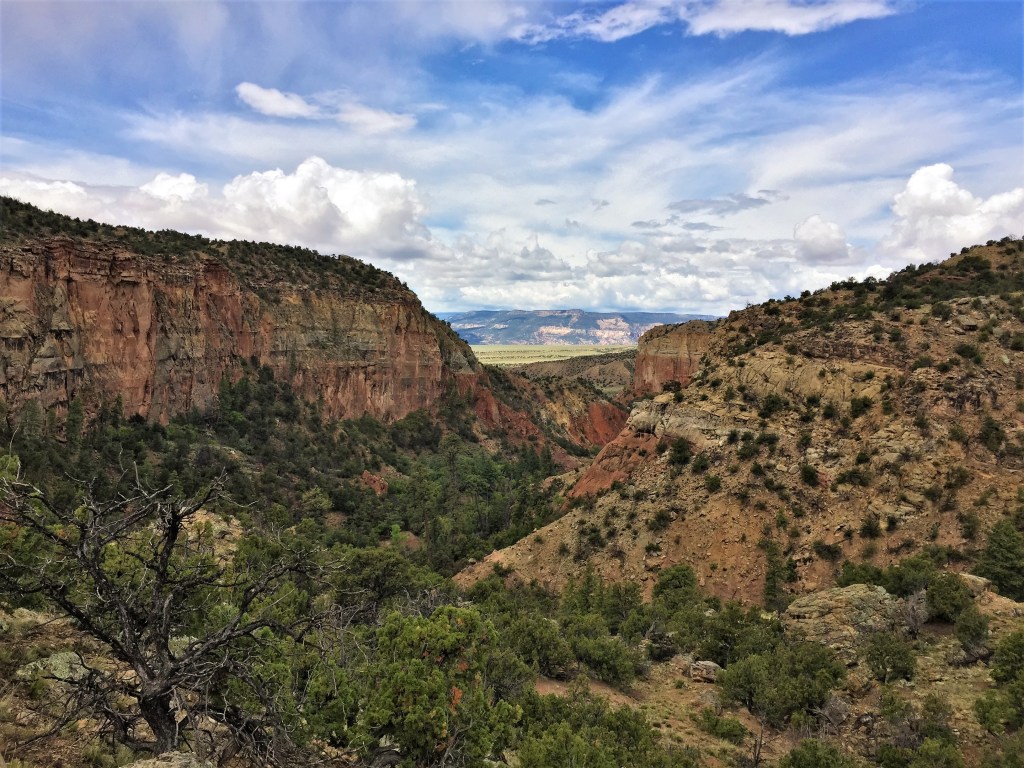
Carson National Forest, New Mexico. Photo courtesy of Johnny Carr.
Administering Agency: U.S. Forest Service
Non-profit partners: Continental Divide Trail Coalition
Permitting Information: Glacier, Yellowstone and Rocky Mountain National Parks all require permits for backcountry travel and camping. Other areas along the trail, including the Weminuche Wilderness and Indian Peaks Wilderness (both in Colorado), require self-permits for tracking purposes. Learn more.
REI’s Involvement: The co-op has invested more than $340,000 in the CDT since 2003.
Read More:
Learn more about all of our national scenic trails.


