One of the closest state parks to downtown Asheville, North Carolina, is actually just across the border in Tennessee, and it encompasses some of the most rugged terrain in the Southeast.
In 2012, the state of Tennessee established Rocky Fork State Park, more than 2,000 acres of mountains punctuated by cliffs and bisected by wild trout streams. Aside from a few small improvements to the infrastructure (a parking lot and trail signs), the land has been left mostly untouched since its establishment.
The terrain is steep and lush and covered with rhododendron and hardwoods. Tight gorges carved by drop-and-pool streams are surrounded by massive, mossy boulders. “Rocky Fork has this pristine, rustic feel that you can’t find in too many other places,” says Rocky Fork State Park ranger Tim Pharis.
Cherokee National Forest surrounds the park on three sides, and many of the park’s trails bleed into the national forest, giving the area a footprint much larger than its 2,000 acres. A section of the Appalachian Trail (AT) runs along the ridgeline that separates the park from the national forest.
The landscape is raw—and rewards exploration. Spend some time poking around and you’ll find towering cliffs, deep swimming holes and expansive views. Although infrastructure improvements are in the works—including a visitor’s center, campground and scenic drive—there’s no time like the present to explore this semi-hidden gem.
Why Rocky Fork State Park?
Hiking
There are 50 miles of marked trails and old logging roads within the park and the surrounding national forest. The terrain is steep and most of the hikes feature significant climbs.
As for trailheads, there’s only one within the park, where a well-maintained gravel path follows Rocky Fork Creek, giving visitors easy access to the watershed and the trails that ascend its surrounding ridges. The trails tend to get more rugged the farther you climb away from the creek, with wide logging roads often narrowing to singletrack.
- Length: .7 mile (one way), 1.35 miles (including Rocky Fork Trail)
- Difficulty Rating: Strenuous
- Best For: Big views
If you want to get a sense for how rugged Rocky Fork State Park can be in a short amount of time, Whitehouse Cliffs is your trail. The singletrack branches off of the main Rocky Fork Trail .65 miles from the trailhead and winds through rhododendron and boulders before joining an active creek bed as it wraps around the northwest flank of Whitehouse Mountain. Things get interesting in the last .3 miles as the trail turns straight up the mountain, gaining several hundred feet before delivering you to the top of Whitehouse Cliffs. From the ledge, you’ll have commanding views into the heart of Rocky Fork State Park.
- Length: 1.4 miles (one way) 2.1 miles one way (including Rocky Fork Trail)
- Difficulty: Moderate
- Best For: History buffs
Park ranger Tim Pharis and a contingent of volunteers spent two years building Flint Creek Trail—constructing 17 bridges along the route—which climbs 1.4-miles to an AT access trail.
But most hikers stop short of the AT when they hit the Flint Creek Battle Site, a half mile from where Flint Creek Trail breaks off of Rocky Fork Trail. The grassy hollow, which serves as an ideal picnic spot, was the site of a battle between local militia and Chickamauga warriors in 1789.
To access the AT, continue past the battle site and hike the full 1.4 miles of the Flint Creek Trail and you’ll hit the access route, which you can hike a further .35 miles to the AT. Hike south on the AT toward the Flint Mountain Shelter, where you can camp, and you’ll pass Buzzard Rock, a limestone cliff with views facing east into the park.

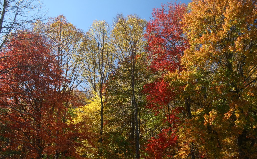
The colors of the autumnal Southeast burst with the season. (Photo: Tim Pharis)
Bicycling
There isn’t a paved road inside the park yet, and although MTB-friendly singletrack is in the long-term plan, there isn’t much designated mountain biking to speak of at the moment. But if you’re into adventurous gravel rides, Rocky Fork is a goldmine. Miles of logging roads climb from Rocky Fork Creek and roll along the ridges of the watershed. The conditions can be rough, so you’ll want to put your burliest tires on your gravel bike—or bring a cross-country rig.
- Length: 6 miles (one way)
- Difficulty: Strenuous
- Best For: Exploration
Deep in the backcountry, just beyond the northeastern border of the park, there’s a 5-acre lake built by loggers in what is now Cherokee National Forest. The lake is hidden by steep slopes and walls of rhododendron (locals call it “Hidden Lake”), and it takes leg power and some orienteering skills to find it. Follow the Rocky Fork Trail from the trailhead, then connect to the slightly more rugged White Oak Flats Trail to Birchfield Camp Trail, which straddles the border of the park and the national forest.
It’s a sufferfest of a climb to the lake (gaining 3,500 feet in 6 miles), and the road gets progressively tougher the higher you push. But pedaling to a high-country lake in the Southern Appalachians is a rare treat that’s worth the effort. (Note: The lake is currently empty because of a faulty drain, which the forest service is in the process of repairing).
Fishing
Rocky Fork Creek’s 10,000-acre watershed, which encompasses the state park and adjoining ridges of Cherokee National Forest, is packed with tight, boulder-choked trout streams. The portion of Rocky Fork Creek that parallels the road into the state park is stocked with rainbow trout, but the headwaters of Rocky Fork Creek hold the true prize of Southern Appalachia: The native brook trout.
“The headwaters are one of the best brook trout fisheries in the state of Tennessee,” says ranger Tim Pharis. “You’ll find them in any little pool, and they’re hungry. They have appetites like no other fish.”
Follow the Rocky Fork Trail for 2 miles to the Headwaters Trail, which climbs for 1 mile through the tributaries of Rocky Fork Creek. Pharis says the brook trout thrive in the cooler waters around 3,000 feet. Bring dry flies and stick to the creel limit of five fish.

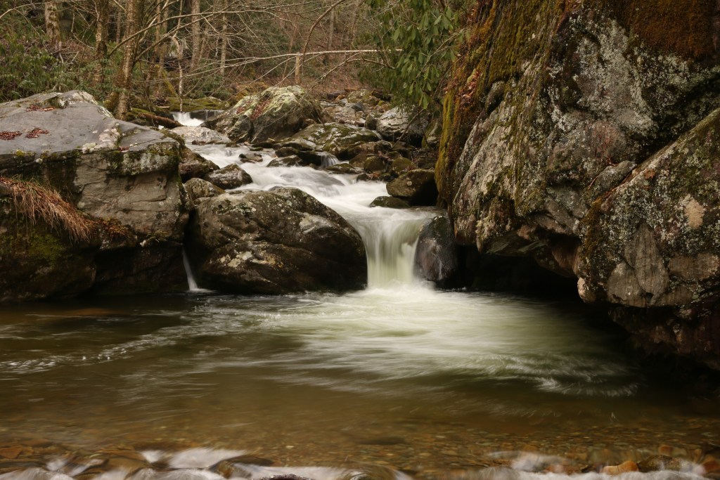
A babbling brook creates another (cold) soaking opportunity. (Photo: Tim Pharis)
Swimming
The Rocky Fork is a pool-drop creek with plenty of soaking opportunities waiting beneath the cascades, but the best swimming is at Blue Hole, which sits next to the road just before the park gate. It’s a deep pool at the base of a small waterfall that gets full sun in the middle of the day. Plus, the Blue Hole is hemmed in by massive boulders, with plenty of space for sunning.
“The water is unbelievably cold,” says Marie Rice, vice president of Friends of Rocky Fork. “People call it ‘Blue Hole’ because of the color you turn after you jump in the water.”
Camping
Camping is allowed inside Rocky Fork State Park, but is limited to three backcountry sites that are available (opening December, 2018) by reservation only. One site is on the Headwaters Trail, one on the Blockstand Trail and one on the Flint Creek Trail. You can reserve to camp for a single night, or link them up to create a three- to four-day loop through the Rocky Fork State Park backcountry.
Learn More: Rocky Fork State Park — Tennessee State Parks


