Please do not kick rocks down onto your girlfriend, I remind myself as I carefully pick my way up 35-degree talus in the morning shade 500 feet below Angel Pass.
Sweat drips from my forehead, and I glance over to the top of my trekking pole to see four mosquitoes hovering near my bent, uncovered elbow, vindictive little helicopters out for more blood.
On Day 4 of our traverse of the Wind River Range in western Wyoming, we’re about four miles from the nearest trail and another 15 miles from the nearest trailhead. So it’s important to Be Careful, which I say to Hilary, both for her and me. I step up onto the next block of granite, and the next, until I step onto the slab between the twin sawtooth profiles of Angel Peak and the unnamed peak to the south, towering on either side of the pass 800 feet above my head.
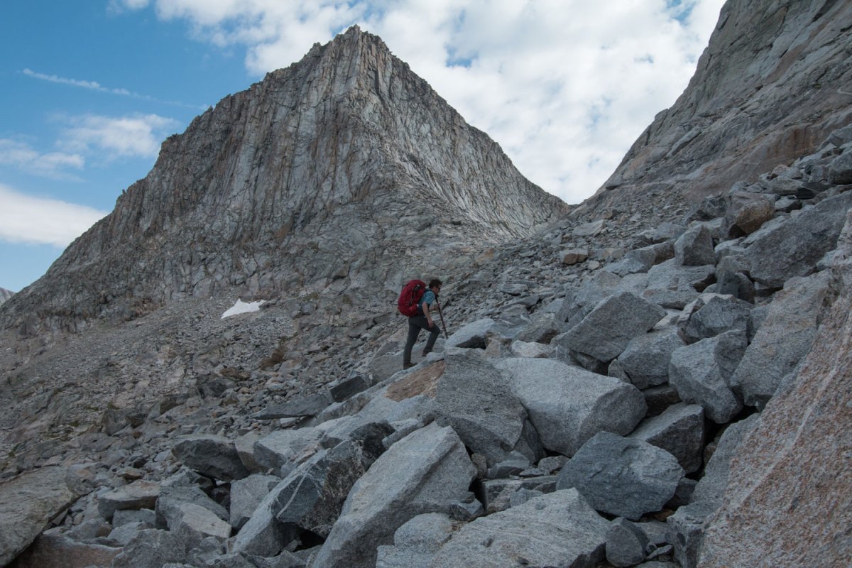
Day 4 – Brendan Leonard climbs up Angel Pass below 12,402-foot Angel Peak. Photo by Hilary Oliver.
Yesterday, Hilary snapped a photo of me next to the thin strip of sand on the shore of Island Lake, cracking a joke about our “beach vacation”: a 75-mile walk starting at the north end of the Wind River Range, staying above 10,000 feet for 55 miles, crossing nine mountain passes, with more than half that distance off-trail. Plus mosquitoes, plus 40-pound packs, plus talus fields, plus a little bushwhacking.
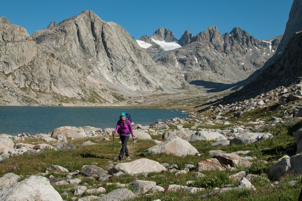
Day 3 – Hilary Oliver walks south on the trail through Titcomb Basin.
I was sure it would be amazing, from what I knew of the Wind River Range: a 100-mile-long swath of rolling foothills crested with ice-sculpted granite peaks, rising subtly out of the high desert in western Wyoming. The Winds are home to 20 of the state’s 21 highest summits. If you’ve seen photos of the Winds, they were likely of the dark monolith of Squaretop Mountain rising almost 4,000 feet above the Green River Lakes, of Titcomb Basin and its enormous twin alpine lakes at the bottom of a broad U-shaped glacial valley, or of the Cirque of the Towers, the group of jagged spires famous for classic alpine rock climbing.
In 2013, Alan Dixon and Don Wilson envisioned the “Wind River High Route,” a cross-country trek traversing the range and connecting all three of those areas, as well as less-famous, equally striking scenery in between.
“Don and I both knew that it was possible to do a great high route in the Wind River Range,” Alan wrote me in an email. “Our vision was a line that would stay much higher than the traditional Highline Trail that most folks use. Our route would stay closer to the superb and beautiful crest of the Continental Divide—many times going off-trail to stay higher and closer to the crest.”
Dixon and Wilson wanted to do the route without crampons or ropes, and in August 2013, they completed it in trail-running shoes—in five-and-a-half days.
I’d hiked the original high route—the Glacier Haute Route between Chamonix and Zermatt—a couple years ago, and put together one of my own, a 100-mile route across Colorado’s Sangre de Cristo Mountains, with my friend Jim Harris in 2013. I’ve started to think that the best way to see a mountain range is to just walk the whole thing, so when I found Alan Dixon’s website detailing his Wind River High Route, I was hooked.
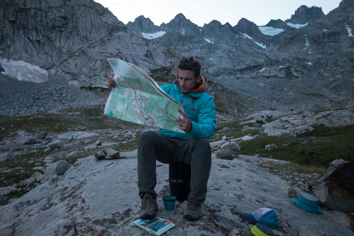
Day 2 – Brendan checks the map at a campsite in Titcomb Basin. Photo by Hilary Oliver.
Yes, I was sure it would be amazing, but I wasn’t sure we would make it. We had food for seven days, which would be fine if we covered 11 miles a day. On Day 2, we made just over seven miles. The cross-country travel was slower than I’d imagined. At night, I obsessed over the map, looking at the remaining passes, wondering if we’d finish before we ran out of food.
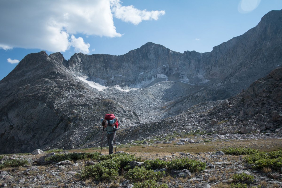
Day 4 – Brendan rests on his trekking poles beneath 12,254-foot Mount Victor. Photo by Hilary Oliver.
Not to mention that by the end of Day 1 my hips had developed welts from the waistbelt of my backpack, not because of the backpack itself, but because I hadn’t carried a heavy pack in more than three months and apparently thought nothing of strapping on a 40-pound pack for a week of high alpine walking. By Day 2, I was shifting the pack weight around two four-inch-long patches of blisters, broken blood vessels, and two small wounds.
The Winds already have trails paralleling the range: the Fremont Trail and the Highline Trail, both of which guidebook author Joe Kelsey says traverse “relatively open, lake-filled country near treeline,” but keep hikers “never quite in the mountains.” The High Route, as we found, puts you in the mountains.
From the top of 11,598-foot Angel Pass, we looked down on an unnamed alpine lake, a small basin of turquoise water at the bottom of a funnel of blocks of shattered granite. Our day had just begun, the climb up to the pass putting us near the halfway point of the trip. Looking at the map, I said something foolish like, “It looks pretty easy for the rest of the day.”
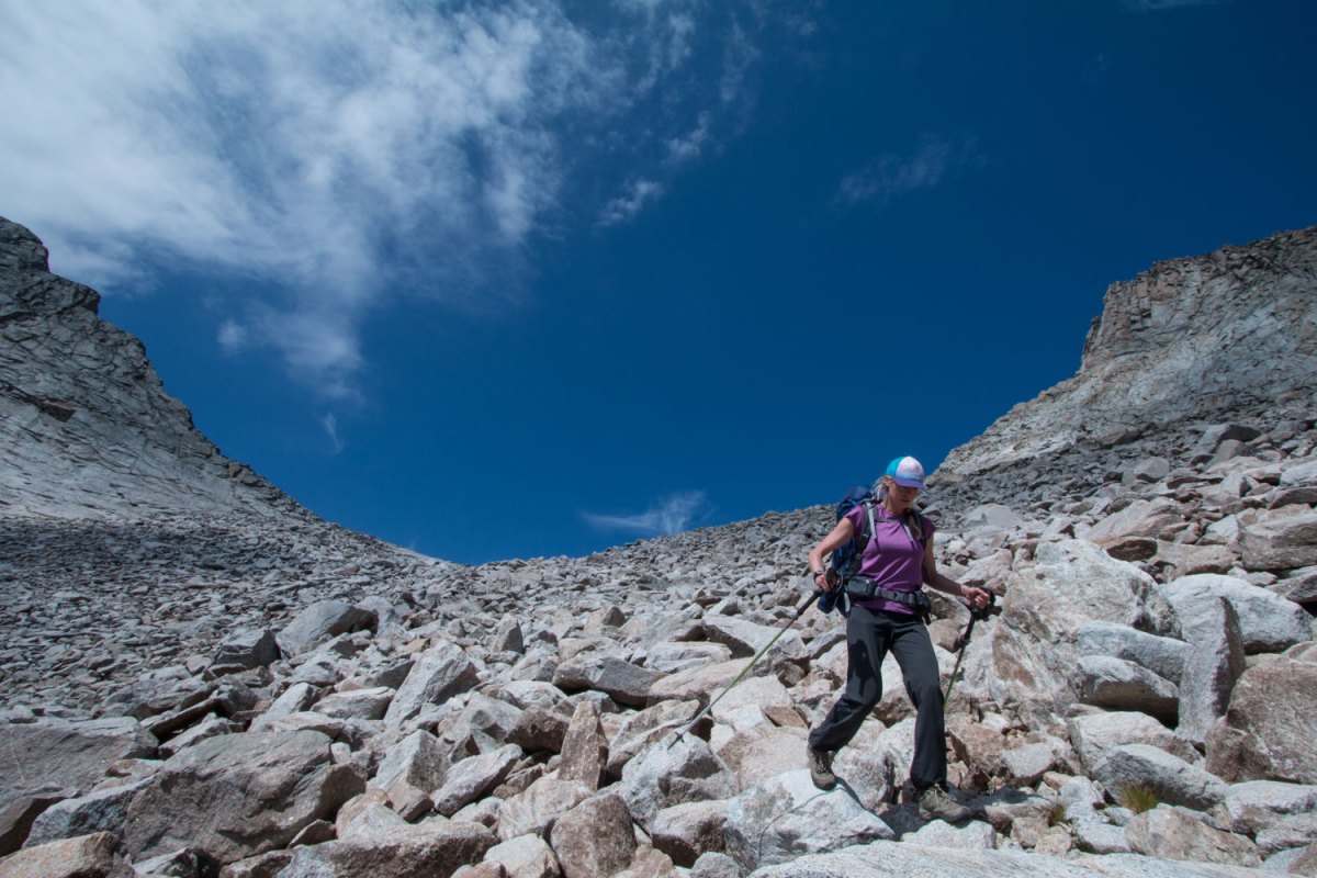
Day 4 – Hilary descends scree on the east side of Angel Pass.
We carefully scrambled down the talus on the east side of the pass, paralleling the drainage from one alpine lake to the next, finally finding ourselves cliffed-out a few hundred feet above Dennis Lake. We zigzagged down a grassy slope looking for a passage down to a faint trail circling the lake, finally finding a two-move down-climb into a gully. After a quick lunch and water-filtering stop, we hiked uphill to find a trail over Hay Pass, then left it to contour along the base of the peaks.
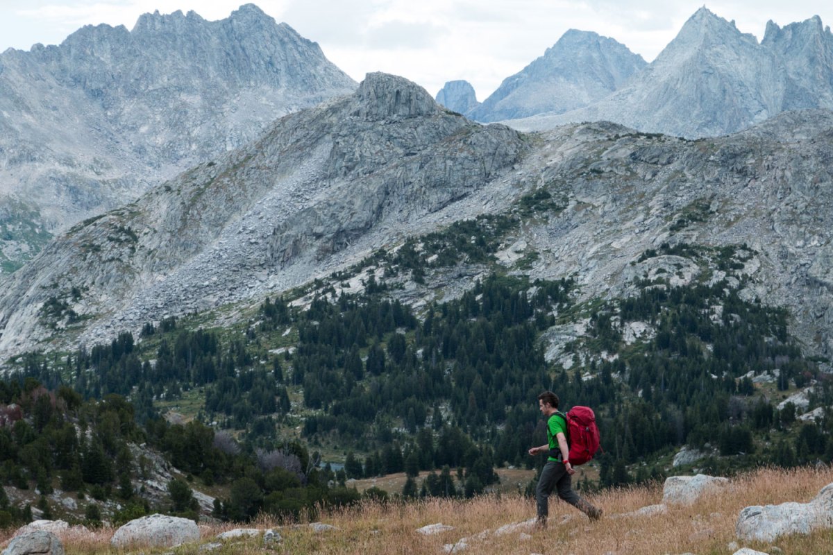
Day 5 – Brendan walks cross-country north of Middle Fork Lake. Photo by Hilary Oliver.
We tromped across tundra for what would show on a map to be about three miles, but what we were finding to be much longer. The miles of off-trail travel were always circuitous: We wound through breaks and weaknesses in the wide swaths of willow bushes (and occasionally just bullied our way through them), diverted our straight-line bearing around wet marshes, walked upstream or downstream to more easily cross small creeks, and climbed short hills that didn’t even show up on topo maps. The beauty was that the macro routefinding was done for us, with the line I’d traced on our map. It looked easy on paper, until you started the micro routefinding.
We picked our way up a small talus slope dumping into Long Lake, a shimmering strip of water under the towering face of Mount Victor, its north face a curved amphitheater of shattered rock with a hanging snowfield the size of three football fields. I scanned the mile-long shore of Long Lake, looking for a footprint, a cairn, some matted-down grass, any sign of a pathway. This is how we made our way through the range between the passes: following a bearing, sometimes finding a game trail or a human trail, sometimes a path of cairns that followed a sensible route, sometimes finding haphazard cairns that made no sense, and always watching our own steps. Occasionally, we’d find a footprint in the dirt or mud, and I would immediately claim it belonged to the two young guys we’d seen on our first day of the trip, the only other two people we knew to be on the High Route. They’d passed us early in the morning on Day 2 and we hadn’t seen them since. Which of course made me wonder if we were going anywhere near fast enough to finish in a week.
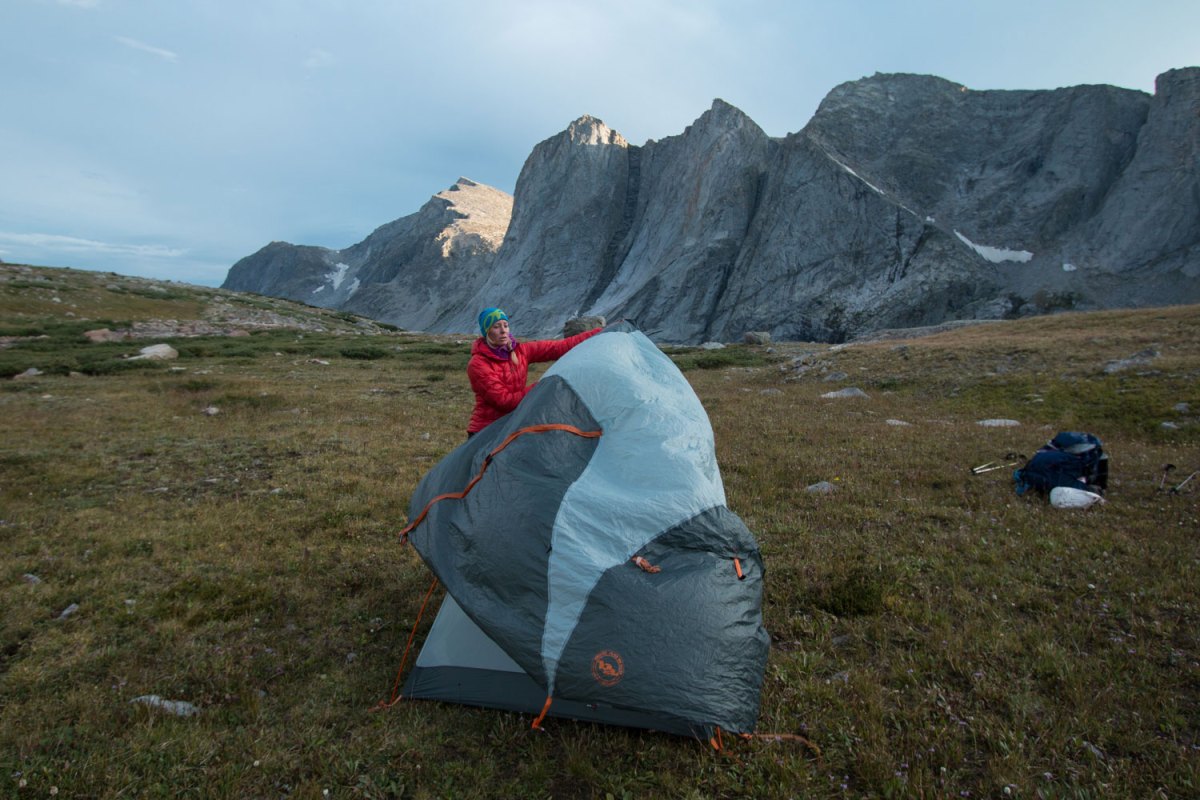
Day 5 – Hilary sets up a tent in front of 12,187-foot Ambush Peak.
We set up our tent in a tight meadow above Long Lake, and I fired up our stove to cook dinner, watching the light fade over the peaks and close our fourth day. If we pushed hard tomorrow, Day 5, if we could climb two passes higher than 11,400 feet, the second one after 11 miles of cross-country travel, then we could probably make it. We went to bed with faint flashes of lightning popping on the tent fly. In the morning, I carefully placed two strips of duct tape over the red spots on my hips, hoping it would work.
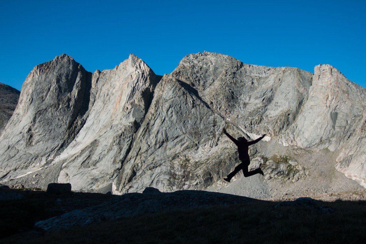
Day 6 – Hilary, happy that her last day of cross-country travel is over, in front of 12,187-foot Ambush Peak.
We charged in the morning, making our way up and down and past small alpine lakes, over and around hills and boulders, through willow thickets and marshes, arriving at the base of the climb to our first pass in the early afternoon at the far end of Middle Fork Lake. We contoured up a slope, Hilary following my path over slabs and through willows.
“I think you’re better at this than I am,” she said a few feet behind me as I forced my way through another swarm of branches.
“You have to high step,” I said. “Don’t take any crap from these plants.” I watched the gray clouds build to the west and south. An afternoon thunderstorm would delay us and dash our hopes of finishing the route, as well as produce the potential danger of getting struck by lightning—obviously a much worse outcome than failing to complete our vacation plans. I breathed deeply and took big steps up, trying to maintain an all-day pace up the gully toward Lake Donna, a blip of water just above 11,000 feet. This, I thought to myself as I stepped higher into loose talus and dirt, is the kind of stuff that never ends up on Instagram or Facebook: the straight-up work that goes into getting you to those great views, the long hours in between the big passes and peaks.
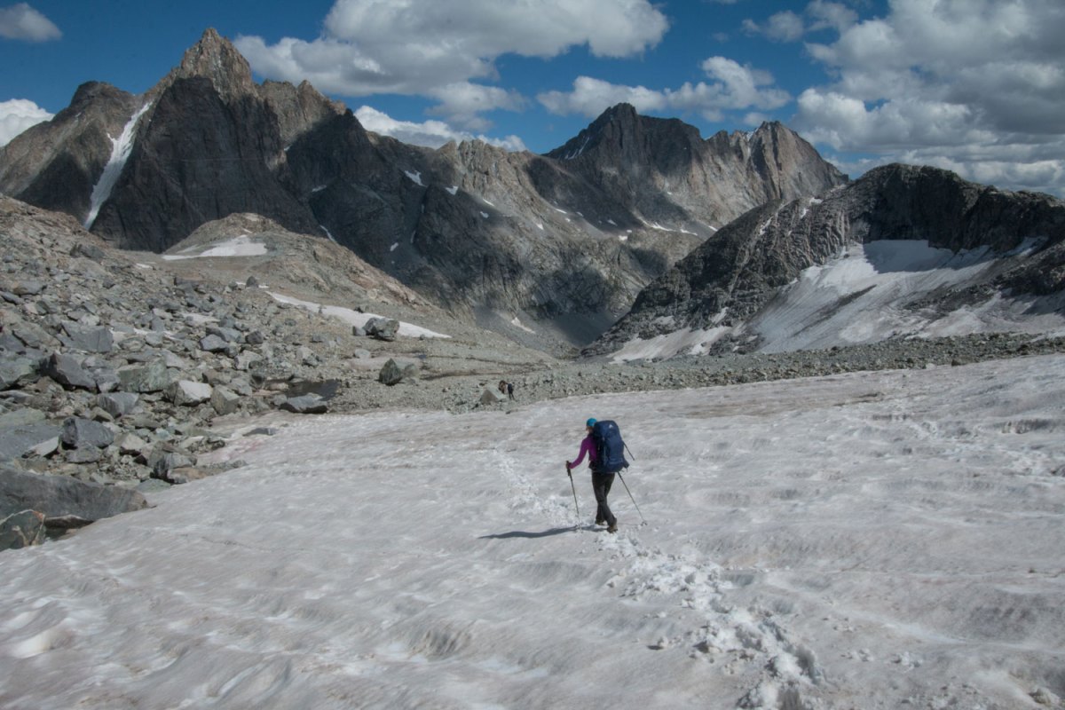
Day 2 – Hilary descends a snowfield from Knapsack Col into Titcomb Basin.
The angle of the slope relented, and I stepped onto a small snowfield right into one of those Instagram places: The dark pinnacles of Pronghorn Peak dropping 1,300 precipitous feet into the waters of Lake Donna, an alpine paradise if I’d ever seen one. How had I never seen a photo of this place? Had I Googled incorrectly? I yelled back to Hilary. No answer. I jogged back across the snowfield to see if she was OK. I looked down the slope, nothing. I looked up toward the pass above me to see her 200 feet up, not having seen me or this lake, hidden from her view by the upper part of the ridge.
“You need to come down here!” I yelled. She dropped her pack and came down the slope.
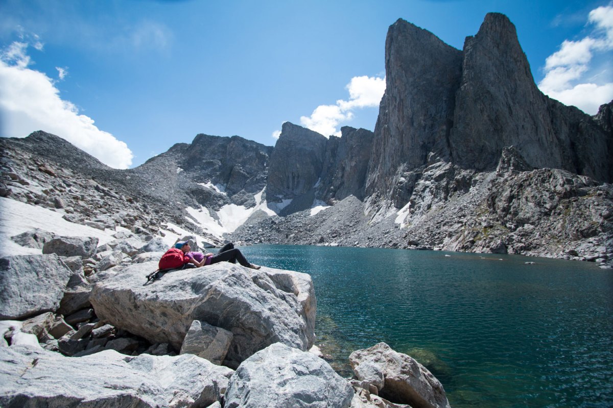
Day 5 – Hilary takes a break at Lake Donna, under 12,388-foot Pronghorn Peak.
I had said something earlier in the week about what a privilege it was to walk past dozens of alpine lakes without so much as stopping to enjoy the view, after I’d spent so many weekends of my life hiking all day just to camp next to one. On the Wind River High Route, it’s kind of a must: You pass by more than 40 lakes (by my count), none of them less than spectacular. But this one seemed to be the essence of the whole idea of the high route: seeing the mountain range from right up against it—never from the very top, but finding these special places without trails leading to them. And hardly seeing anyone else the entire time.
The sun came out for a glorious five minutes over Lake Donna, and I furiously snapped photos before the clouds closed in again. We fired up to the pass, carefully picked our way down the ledges on the other side, then started down the valley below the Bonneville Lakes, where we hoped to start up the final climb of the day: 1,000 steep, trail-less feet to the pass between Raid Peak and Bonneville Peak. The clouds started to part, but not before dumping five minutes of rain on us. We dragged ourselves up to the pass, sat down at 11,600 feet, looked down at a mess of car-sized talus blocks leading to the East Fork Valley, and started down with two hours of daylight to go. The weather had held, and so had we.
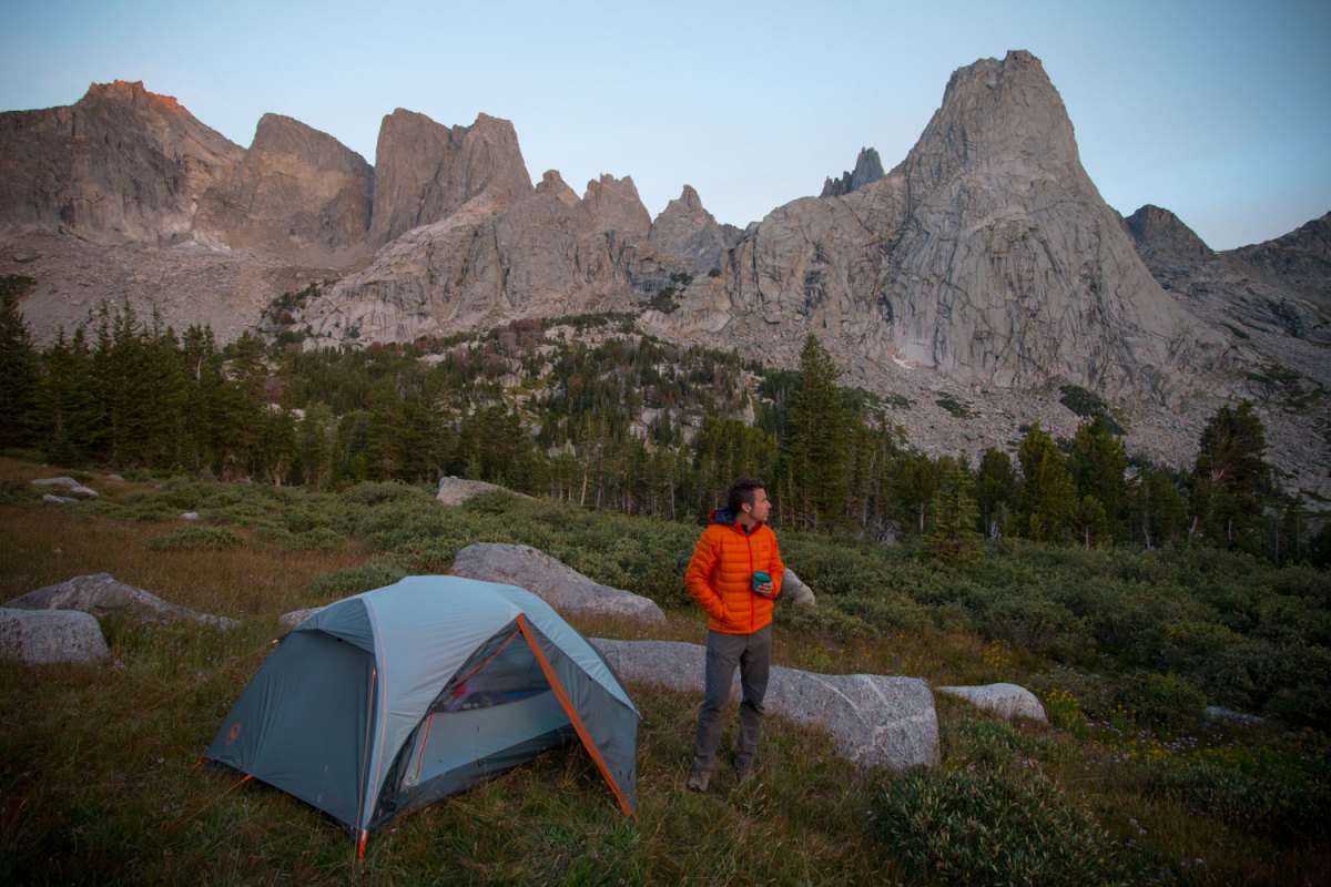
Day 7 – Brendan drinks coffee at the last campsite in the Cirque of the Towers. Photo by Hilary Oliver.
We stopped at the first decent lake, an unnamed tarn at 10,800 feet, for the evening, a half-hour before sunset, dropping our packs in the grass and calling it a day after 12 straight hours. I said, “Great, at least we won’t have any good light to take photos in,” since we were both crushed after all that walking. We set up the tent, swatted the mosquitoes away, and marveled at the 2,000-foot east face of Ambush Peak sweeping into a lake below us. I sat down on a flat slab of granite to cook dinner, expecting that I wouldn’t stand up until it was time to crawl into our sleeping bags. Then the sun lit up the sky and the backside of Ambush with a flame-orange glow and I couldn’t help myself—I jumped up onto my sore feet and frantically grabbed the camera, not wanting to miss the light.
On Day 6, we ambled down our final two miles of real off-trail travel to Pyramid Lake, stopping to soak our feet in a creek before tackling the last eight miles into Cirque of the Towers. I relaxed. It was only 20 miles to go from here, on trails up and over two well-traveled passes. My duct tape blister patches seemed to be holding. We had enough food, and it was sunny.
Two guys in their late twenties walked down the trail and stopped to chat. They’d been on the High Route, a little ahead of us the entire time, except for the two days on the harder variation they’d taken, over the Knife Point Glacier.
“So those are your footprints we’ve been seeing,” I said. Jeff and Brian, engineers from Baltimore, had decided to take on the Wind River High Route this year, figuring it would be a step up after the High Sierra Trail they’d done in 2014. “Well, congratulations,” I said, “because this thing is legit.” The off-trail travel, navigating by map and compass, negotiating miles of talus, and all that time hanging out in the thin air above 10,000 feet made it a serious undertaking.
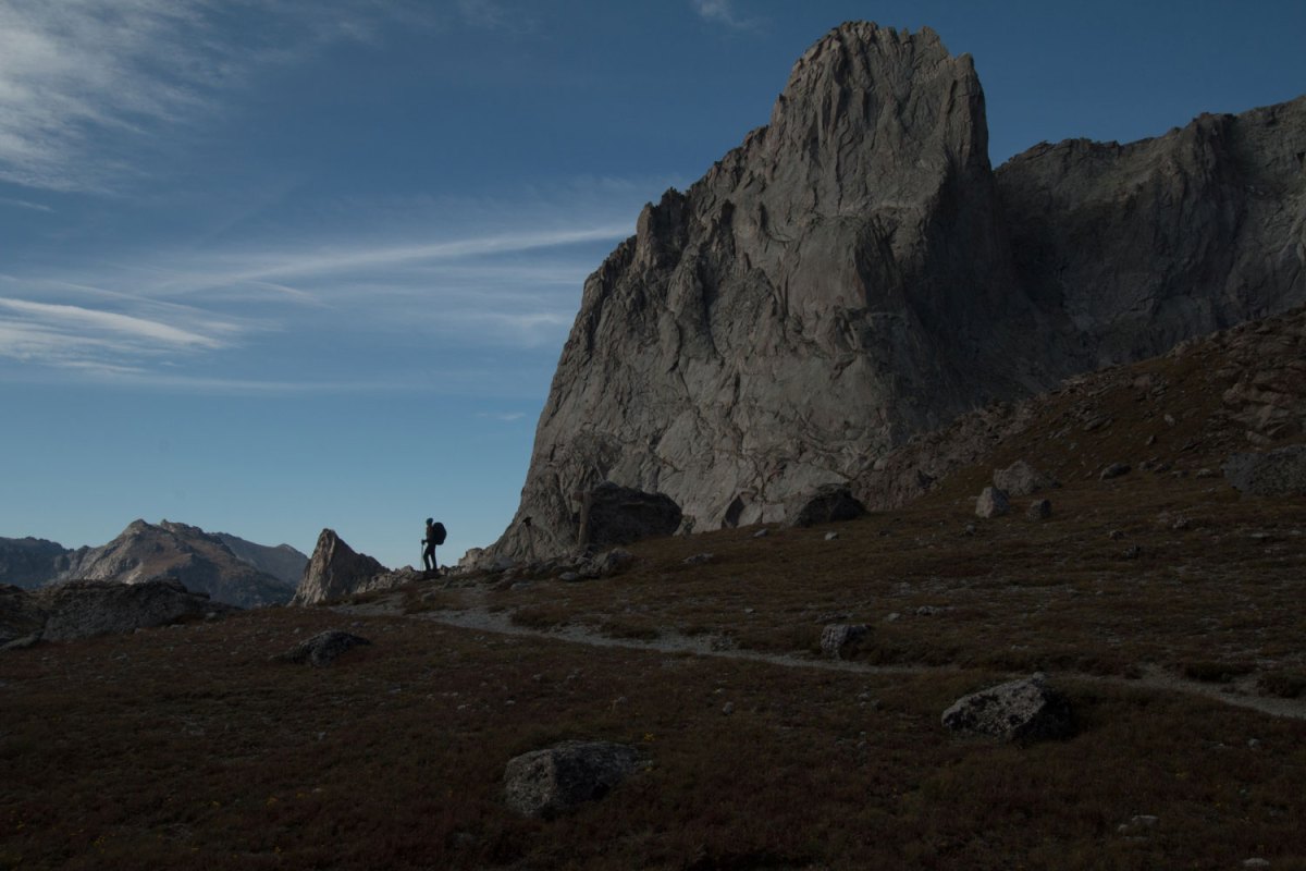
Day 7 – Hilary pauses at Jackass Pass, the last high pass of the trip.
In our week on the route, we’d met a total of eight people trying their hand at it, including these two. One guy, Bob, had turned around about 17 miles in after the talus was too much for his dog, Kona. Another person we heard about later took a wrong turn near Lake Donna, ended up on the wrong pass, said he “thought he was going to die,” and bailed out on the Highline Trail. There are endless possibilities for high routes in the Winds. A month after our trip, a couple completed Andrew Skurka’s proposed High Route, which is a more difficult, longer variation, shortly before Skurka hiked it himself.
We tromped down the Pyramid Lake Trail, our legs and feet singing the joy of somewhat flat ground. We passed a couple from Boulder, Colorado, who said they’d been coming to the Winds for 35 years now.
“The only problem with the Winds,” the gentleman said, “is it takes two days to get back into anything good. It used to take us one day, but we’re not as young as you anymore.”
I thought of my only other trip to the Winds, a five-day backpack into Titcomb Basin, 12 miles of walking to get into the lakes, a long day or even one-plus days for anyone with an overnight pack. The Cirque of the Towers was an 8.5-mile hike in. The Winds have plenty of those destinations magazines use 50-dollar words to describe, but they’re all a long walk in. He was right, I thought, and the High Route was one good way to beat that: hike in for a day on one end, hike out for a day on the other end, and sandwich five days in the Winds in between those, staying above 10,000 feet above the trees and in the alpine that whole time.
