Located outside Fredonia, Arizona, this 21.4-mile loop descends 2,000-feet in 2.5-miles through Coconino Sandstone from the Bill Hall trailhead to connect the Thunder River and Deer Creeks trails. Here’s an overview of the trail in pictures.
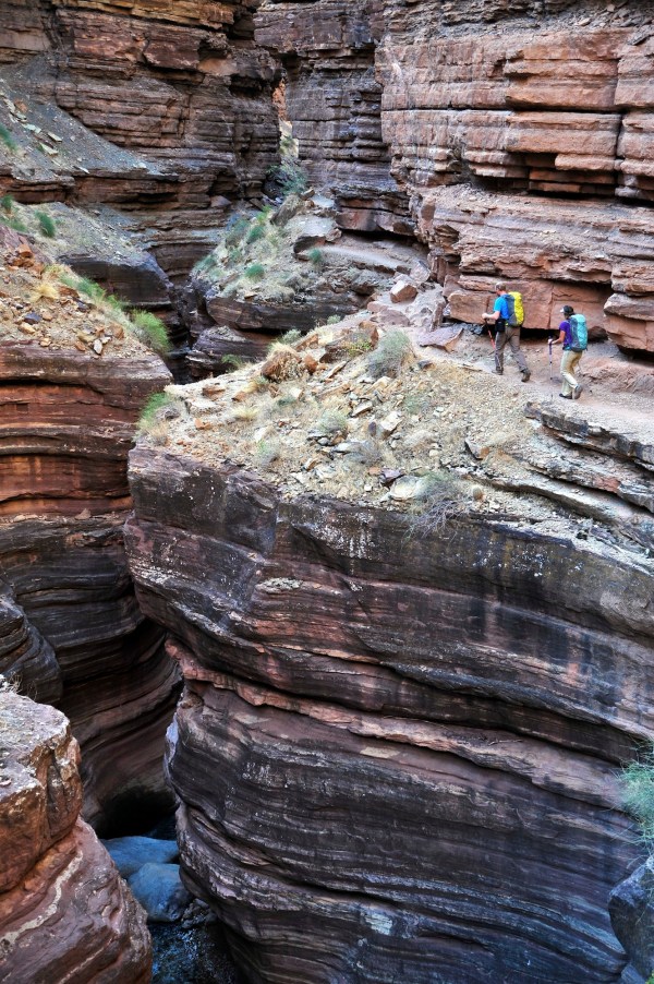
Cameron Martindell and Agnes Hage walk along Deer Creek Narrows in the Grand Canyon.
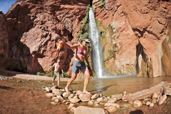
Cameron and Agnes head back to camp after swimming in the pool below 180-foot Deer Creek Falls.
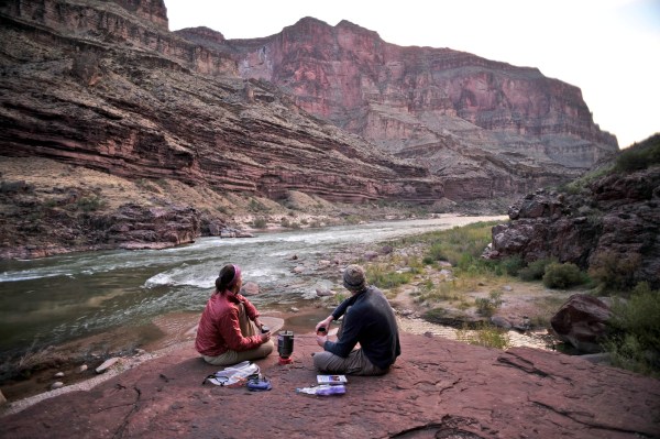
Agnes and Cameron cook dinner on a cliff-pinched patio above camp and the Colorado River near Deer Creek Falls.
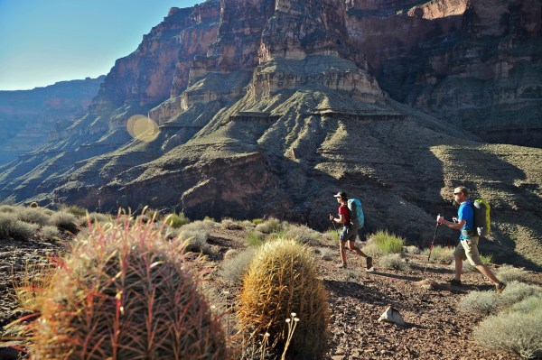
Agnes and Cameron follow a route along the Colorado River that connects Tapeats Creek and Thunder River to Deer Creek.
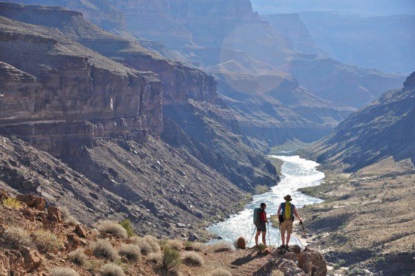
Agnes and Cameron overlook the Colorado River as they follow a route that connects Tapeats Creek and Thunder River to Deer Creek.

Cameron and Agnes climb out of Surprise Valley through a break in the 400-foot-tall Redwall on the Thunder River Trail.
For more information and logistics for this hike, visit the National Park Service page for Thunder River Trail and Deer Creek, or check out the Grand Canyon Backpacking – North Rim trip with REI.
