North Carolina offers an incredibly diverse portfolio of terrain, stretching from the sand dunes that flank the Atlantic Ocean, through the rolling Piedmont and up to the jagged peaks that form the state’s western border with Tennessee. Some of the tallest mountains on the East Coast are tucked in there. So is one of the most famous footpaths in the world, the Appalachian Trail. Not to mention towering granite domes and rushing waterfalls—and none of it disappears just because the mercury drops.
“I spend a lot of time telling people how amazing winter camping can be in North Carolina,” said Claude Matkin, an outdoor educator who teaches winter camping workshops at the REI store in Asheville, N.C. “There are fewer people on the trails, no crowds in the campgrounds and you’ll never have better views than during the winter because the skies are so clear.”
Thanks to North Carolina’s dramatic range of elevations, you can choose from a full-on winter expedition in the high country, where peaks top out above 6,000 feet, or a mellow car-camping experience in the Piedmont. Here are some of the best winter camping destinations in the Tar Heel State.
South Mountains State Park
- Location: Connelly Springs, N.C., about 16 miles from Morganton or 55 miles from Asheville
- Fall/Winter Season: November to April
- Best For: Family-friendly car camping with access to hiking and tough mountain biking
- Dogs: On leash
- Access: Drive-up, or backcountry
- Accessible Sites Available: Yes, sites are available for campers with disabilities
Area Overview
South Mountains State Park offers 18,000 acres of surprisingly rugged, mountainous terrain in the otherwise mellow foothills of the Piedmont. There are 48 miles of hiking trails including a 17-mile loop that’s also open for mountain biking. But bikers be warned: “It’s tough,” said Jonathan Griffiths, South Mountains superintendent. “If you like pedaling uphill all day, you’ll love it.”
Some of the mountains inside South Mountains State Park rise 1,500 feet from the park entrance to their peaks, so the terrain can be steep, whether you’re on a bike or on foot. For hikers, Fox Trail is a strenuous 3.7-mile one-way stretch of trail that leads to a broad view of the Blue Ridge mountains rising to the west. Hemlock Nature Trail is a 0.3-mile easy ramble along the Jacob Fork River. But the main attraction in the park is High Shoals Falls, an 80-foot-high waterfall that’s reached via the High Shoals Falls Loop Trail. It’s a tough 2.7-mile loop, with sections of steep steps, but the view of the falls is worth the effort.
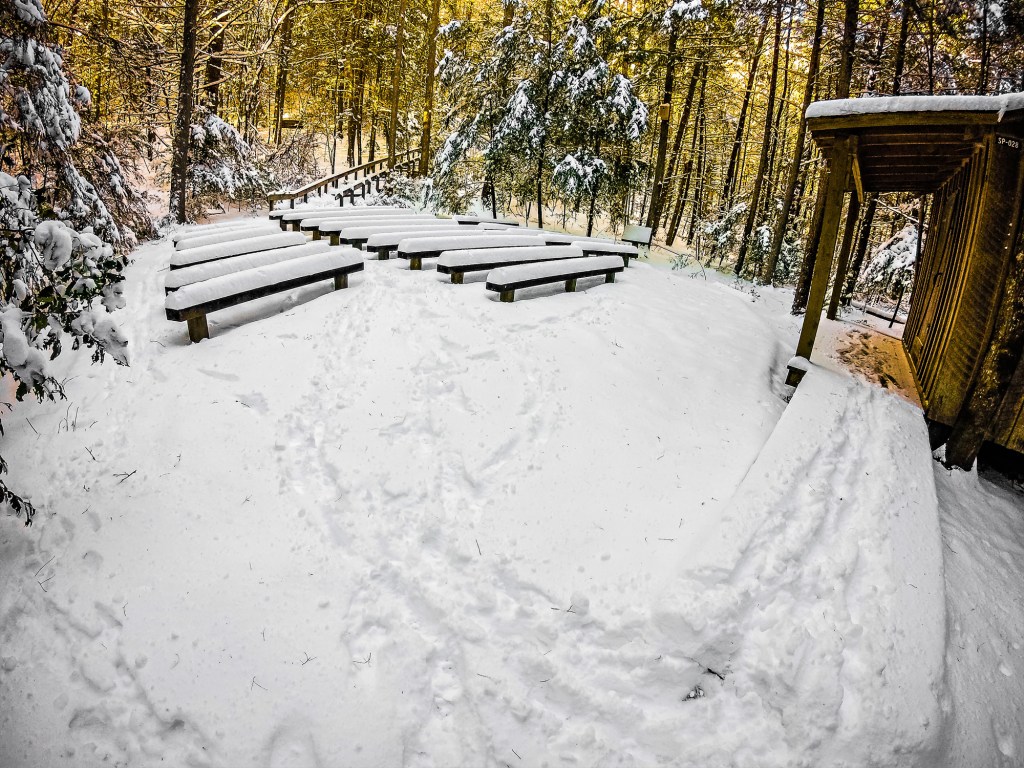
A winter scene at South Mountains State Park. (Photo Credit: Getty Images)
Campground
The park’s frontcountry campground has 18 campsites with picnic tables and fire circles. Half of them back up to the Jacob Fork River, which offers year-round trout fishing (catch and release only). Two campsites have electric hookups for RVs and one is wheelchair accessible. There are also 20 backpacking sites, each big enough for two tents; a pit toilet is nearby. Drive-up campsites are $15 a night; backcountry campsites are $10 a night.
Panthertown Valley, Nantahala National Forest
- Location: Sapphire, N.C., about 26 miles from Brevard
- Fall/Winter Season: November to April
- Best For: Backpackers looking for excellent stargazing opportunities
- Dogs: On leash
- Access: Backcountry
- Accessible Sites Available: No sites available for campers with disabilities
Area Overview
The 6,295-acre Panthertown Valley lies in a remote corner of Nantahala National Forest. The valley’s been dubbed “the Yosemite of the East,” because of its impressive granite domes and cliffs. Those walls of granite frame a placid valley with 30 miles of trails and old logging roads that are open to mountain bikers and equestrians, but are best suited to hiking. Wild trout streams bisect the valley floor, forming tall waterfalls, natural waterslides and quiet pools teeming with fish. The abundance of water makes Panthertown a popular spot in the summer, but the valley isn’t without its charms in the winter as well.
“Panthertown in the winter is magical,” said Joe Moerschbacher, a backcountry guide and owner of Pura Vida Adventures, who has spent years exploring the area. “All of those waterfalls that are enticing to swimmers in the summer shimmer with icicles, and ice crystals form on the edge of the streams. It’s stunning.”
Schoolhouse Falls, which drops 20 feet over a concave cliff on Greenland Creek, is the most popular destination in the valley. During cold stretches in the winter, the cascade has been known to freeze solid.
But don’t overlook the rock domes that help form the borders of Panthertown. Hike to the top of Big Green Mountain, which has a near-vertical granite face rising 1,000 feet above the valley floor, and you’ll have a comprehensive view of the backcountry area. Development near Panthertown Valley is scarce, so the stargazing on a winter night is top-notch, particularly from the top of Big Green Knob (see camping, below).
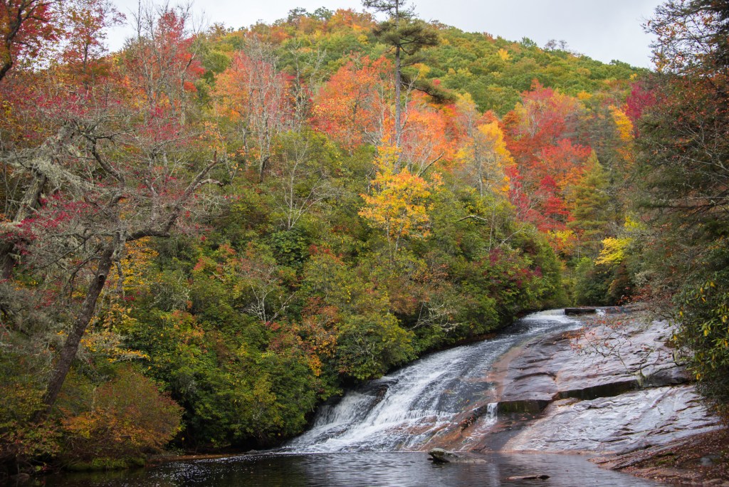
Leaves change color around the falls in Panthertown Valley. (Photo Credit: Getty Images)
Campsites
Backpacking in Panthertown Valley is primitive, with no services or amenities, but there are plenty of level, established campsites to choose from. If you’re traveling in a group, there’s a large campsite next to Panthertown Creek, along the Panthertown Valley Trail, three miles from the Cold Mountain Gap Trailhead. There are also smaller sites tucked into the pine forest at the top of Big Green Knob that are sheltered from the wind. But you’ll need to pack all your water as there’s no water source at the top of the mountain. There are no fees and no permits required. Given the primitive nature of Panthertown, you need to be self sufficient and have the appropriate winter camping gear to withstand sub-freezing temperatures at night, and be sure to follow Leave No Trace guidelines.
North Mills River, Pisgah National Forest
- Location: Pensacola, N.C., about 19 miles from Brevard
- Fall/Winter Season: November to April
- Best For: Close access to world-class mountain biking
- Dogs: On leash
- Access: Drive-up
- Accessible Sites Available: No sites available for campers with disabilities
Area Overview
The 162,000-acre Pisgah Ranger District of Pisgah National Forest has become a world-class destination for mountain bikers thanks to the nearly 300 miles of mapped trails. The riding is often technical, with steep climbs and rocky descents, and it’s arguably best in the winter, when the crowds are sparse and the leaves have fallen off the trees.
“During the summer, you’re riding through a tunnel of green in Pisgah,” said Tricia Davis, a board member with Pisgah Area Southern Off-Road Bicycle Association (SORBA), which maintains the singletrack in the Pisgah Ranger District. “But in the winter, when the leaves are down, you find all of these long-range views that you never knew existed.”
Black Mountain Trail and Spencer Gap Trail are two of the most popular trails in the forest, but the colder months also bring the opportunity for bikers to ride seasonal trails that are only open to bikes in winter. Some of the seasonal highlights include the five-mile Pink Beds Loop, which is one of the few beginner-friendly trails in the forest, and North Slope, which offers fast, fun singletrack close to Brevard. Set up camp in Pisgah in the winter and you’ll have a week’s worth of riding just outside your tent—and you’ll have it all to yourself.
Campground
North Mills River Campground sits in the heart of Pisgah National Forest, with pedal-out access to some of the forest’s best singletrack. There are 13 primitive sites open during the winter, with fire rings and picnic tables and access to a pit toilet. Winter rates are $11 a night. The campground is on the banks of the North Mills River, which offers trout fishing as well.
Roan Highlands, Pisgah and Cherokee National Forests
- Location: Harrell, N.C., about 45 miles from Boone
- Fall/Winter Season: November to April
- Best For: Backpackers looking for a winter expedition
- Dogs: On leash
- Access: Backcountry
- Accessible Sites Available: No sites available for campers with disabilities
Area Overview
The Appalachian Trail runs for more than 2,000 miles from Georgia to Maine, passing through a series of stellar landscapes, but many thru-hikers will argue that the 14-mile stretch through the Roan Highlands, on the Tennessee-North Carolina border, is the most spectacular. Here, the trail passes over a series of high-elevation peaks, oscillating between thick spruce-fir forests and open grassy balds giving you an “above treeline” experience that’s rare in the Southern Appalachians. In the summer, one of the largest natural rhododendron gardens in the South is blooming. In the winter, these high-elevation peaks can often collect some of the deepest snow in the South.
“There can be significantly more snow on these high elevations than in the valleys,” said Morgan Sommerville, southern regional director for the Appalachian Trail Conservancy. “If you catch it right, the cross-country skiing and snowshoeing in the Roan area is great. But don’t underestimate how cold it can be. Consider this a winter mountaineering trip, and plan accordingly.”
Start your adventure at Carver’s Gap and hit your first grassy bald, the 5,825-foot Round Bald, in less than a mile. Expect lots of elevation change as you summit Jane Bald (5,820 feet) at 1.5-miles from the trailhead and move deeper into the Roan Highlands.
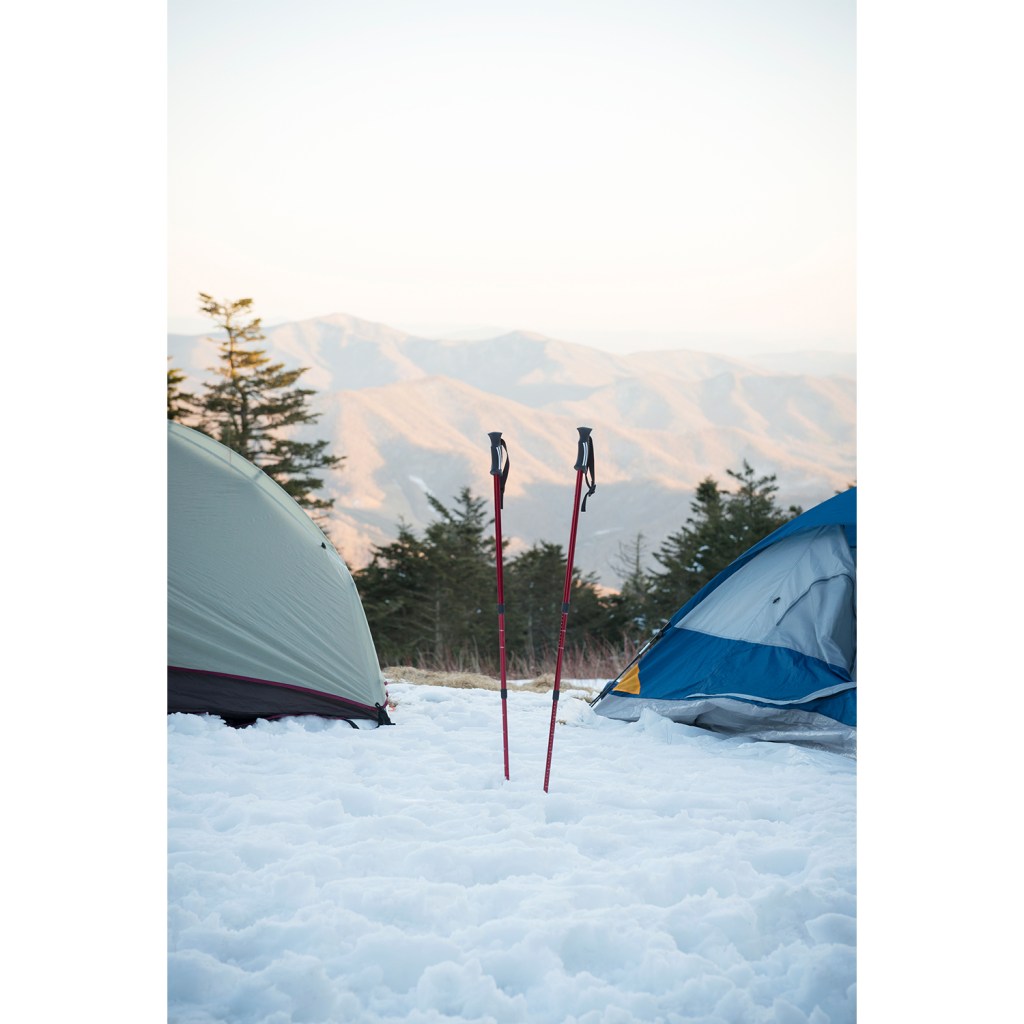
Snow camping on Roan Mountain near the Tennessee-North Carolina border. (Photo Credit: Getty Images)
Camping and Shelters
There’s camping galore along the AT, but if you want a true AT experience, stay in a shelter. The Stan Murray Shelter, a three-sided structure 3.5 miles from Carver’s Gap, is an option, but if you want a warm night, continue another 2.3 miles to the massive Overmountain Shelter. This is a rustic, two-story red barn that sleeps 20 and has a spring, privy and picnic tables. For a shorter excursion (but without the grassy balds), head south on the Appalachian Trail from Carver’s Gap for 1.5 miles to Roan High Knob Shelter, a former fire warden’s cabin that sits on the side of the spruce-and-fir-covered Roan High Knob. At 6,285 feet, it’s the highest shelter on the AT. No permits or fees necessary. And remember Sommerville’s advice: Consider this a winter mountaineering trip and be sure you have the proper gear for such an adventure.
Hanging Rock State Park
- Location: Danbury, N.C., about 32 miles from Winston-Salem
- Winter Season: November to April
- Best For: Easy access to winter climbing and mountain biking
- Dogs: On-leash
- Access: Drive-up
- Accessible Sites Available: Yes, one site is wheelchair accessible
Area Overview
Hanging Rock State Park sits in the middle of the state, not far from the bustle of the Raleigh/Durham area, and offers a variety of adventure not commonly seen in the North Carolina state park system. Visitors can paddle the mellow Dan River, hike to towering waterfalls, climb 400-foot cliffs or pedal fast, flowing singletrack. Hikers can set out for unique rock formations, like Balanced Rock, or Torrey’s Den Falls, which is the tallest waterfall in the park.
Hanging Rock also recently doubled its number of mountain bike trails, adding eight new miles of singletrack. Bikers now have 15.5 miles of loops to choose from, including Rattler, the only dedicated downhill trail in North Carolina’s state park system. Bikers should expect lots of berms from the new trails and more rocks and tight switchbacks on the older trails in the system, according to Park Ranger Ray Brundege, who adds that Land of the Lost is his favorite trail in the park. “It’s not technical, but it has so much rhododendron and so many evergreens, and lots of moss. Even in the winter, it’s still a green trail. And there are a lot of rock overhangs that turn into small waterfalls after a rain.”
The park is also a winter climbing destination, thanks to the mild weather and abundance of rock, from hidden boulder fields to the two-mile-long, 400-foot-tall Moore’s Wall and Cook’s Wall. “If you’re a beginner, head to Two-Mile rock, which has a lot of easier to moderate routes,” Brundege said.
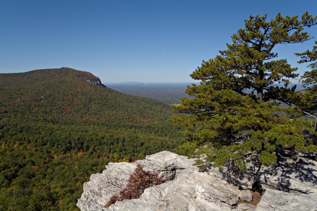
A bluebird fall day at Hanging Rock State Park. (Photo Credit: Getty Images)
Camping and Cabins
The lower loop of the drive-in campground is open during the winter, with 42 sites to choose from. Services and amenities are at a minimum, with only a pit toilet available. But hikers and climbers can leave their cars parked at the campground, as a couple of key hiking trails begin directly from the campground road. Sites are $10 a night. The park also offers 10 cabins (two of which are wheelchair accessible) that are available year-round. Cabins are $88 a night with a two-night minimum during the winter.
Fontana Dam, Great Smoky Mountains National Park
- Location: Forneys Creek, N.C., about 32 miles from Bryson City
- Winter Season: November to April
- Best For: Car campers who want an AT shelter experience
- Dogs: Not in the shelter
- Access: Drive-to with short road hike
- Accessible Sites Available: No sites available for campers with disabilities
Area Overview
The southeastern corner of Great Smoky Mountains National Park offers some of the most remote hiking inside the 500,000-acre wilderness, thanks largely to the creation of Fontana Lake, a nearly 12,000-acre man-made lake that separates that section of the park from nearby communities and highways. The hiking in this corner of the park is lonely, even during summer, when most of the crowds tend to stick to trails off of Newfound Gap Road, which bisects the middle of the park. During the winter, you’re all but guaranteed to have the trails to yourself.
The Lakeshore Trail runs for 32 miles along the edge of Fontana, crossing trout streams and offering access to the lake, but most hikers opt for the Appalachian Trail, which crosses the dam (the tallest concrete dam east of the Rocky Mountains) and climbs steadily towards Shuckstack Tower, a restored fire tower inside the park. The views from Shuckstack are unparalleled, taking in Fontana Lake below and stretching all the way into Nantahala National Forest.
“Some of my favorite parts of the Appalachian Trail are the sections inside Great Smoky Mountains National Park,” said Morgan Sommerville, southern regional director for the Appalachian Trail Conservancy. “They’re simply the most remote pieces of trail in the state.”
This corner of the park is also close to Tsali Recreation Area, in Nantahala National Forest, which offers almost 40 miles of flowing singletrack on the other side of Lake Fontana. Campers can spend a day hiking the most isolated corner of Great Smoky Mountains National Park, and a day pedaling the flow trails of Tsali.
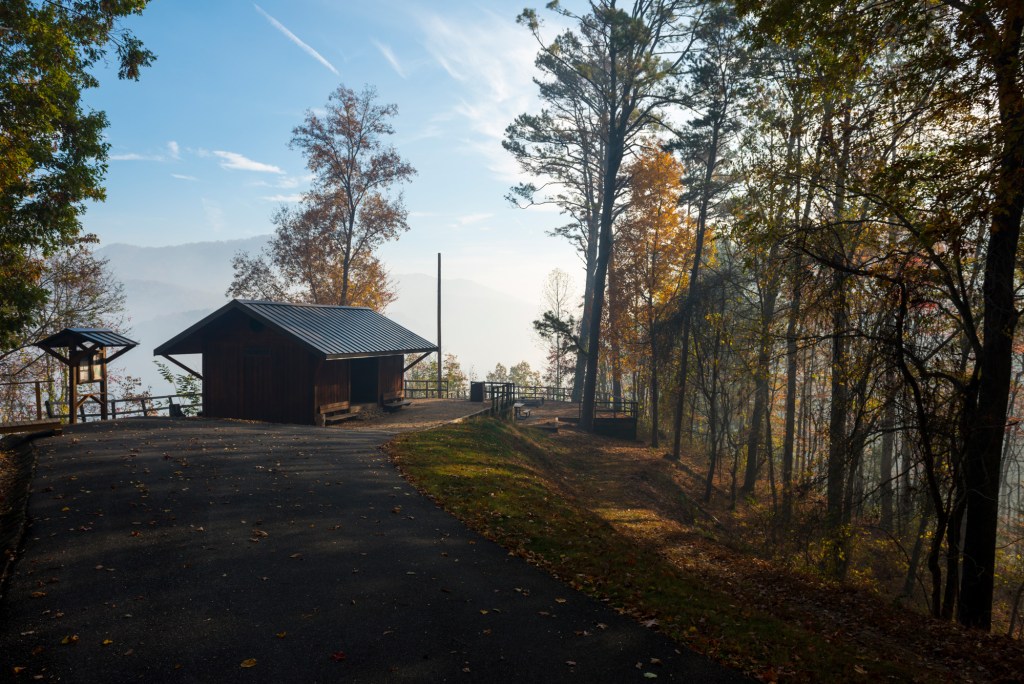
The Fontana Dam Shelter on the Appalachian Trail in autumn. (Photo Credit: Getty Images)
Camping and Shelters
Of the more than 250 different trail shelters along the Appalachian Trail, the Fontana Dam Shelter has a reputation for being one of the nicest. Part of that is because of the location; it sits on the edge of Lake Fontana with a view of the serene waters. But the shelter is also meticulously maintained by the Tennessee Valley Authority, with clean restrooms, picnic tables and access to hot showers at the TVA visitors center. Because of the location and these premium amenities, thru-hikers have nicknamed the shelter, the “Fontana Dam Hilton.” There’s plenty of space (it’s actually two shelters facing each other) and its proximity to the paved road running across the dam gives the shelter frontcountry access. You’re basically car camping, but in an AT shelter.
Elk Knob State Park
- Location: Todd, N.C., about 11 miles from Boone or 95 miles from Asheville
- Fall/Winter Season: November to April
- Best For: Easy access to cross-country skiing and snowshoeing
- Dogs: On leash
- Access: Backcountry, one-mile hike in
- Accessible Sites Available: No sites available for campers with disabilities
Area Overview
One of North Carolina’s newest state parks, Elk Knob is also one of the state’s highest, with elevations that range from 4,500 feet at the park entrance to 5,520 feet at the summit of Elk Knob. That distinction makes the park a destination for adventurers who want a taste of winter in the Southern Appalachians.
“It can be a regular day in Boone, a couple of thousand feet below in the valley, and once you hit 5,000 feet up here, everything turns white,” said Brandy Belleville, a ranger for Elk Knob. Before heading to the park, Belleville suggests calling (828-297-7261) to check the current weather: “I’ve seen snow flurries in June before.”
In fact, Elk Knob is the only state park in North Carolina that offers cross-country skiing, and even has a fleet of snowshoes visitors can borrow when the snow falls. The one-mile-long Maple Run Trail is designed for cross-country skiing, forming a mellow loop with little elevation change near the visitors center. Skiers also like to form a loop by connecting the first half of the mile-long Beech Tree Trail, which runs along the contour of a hill near the main parking lot, with the park road. If there’s no snow, you have 5.5 miles of hiking trails traveling through the 3,680-acre park. The 1.7-mile-long (one-way) Summit Trail, which leads to the top of Elk Knob, is a highlight because of the long-range views that take in the surrounding High Country peaks. On clear days, you can see all the way to Mount Rogers in Virginia.
Backcountry Camping
There is no developed campground in Elk Knob State Park, but there are three backcountry campsites that can accommodate up to six people (or two tents) each. Camping is primitive and fires are not allowed, so campers should be prepared with appropriate winter gear. There is also zone camping on one of the park’s exposed ridges, where you can pitch a tent anywhere between two stakes. The views from the ridge are amazing, especially the stargazing on a clear night; but as it gets especially windy during the winter, Belleville suggests heading into the valley toward backcountry site #2, which sits next to a rushing stream. Fee: $10 per night, per site.
