Jerry Brown was a 39-year-old Coloradan living in Texas when he read a newspaper article in 1989 about a multi-use trail that traversed 486 miles across his home state, from Denver to Durango. The Colorado Trail (CT) had just been dedicated with ceremonies at its northern and southern terminuses and immediately following its opening, 13 people hiked the trail, according to the Colorado Trail Foundation. After reading the article, Brown made plans to ride it.
The next year, in 1990, Brown became the first person to bikepack the Colorado Trail. He didn’t foresee it then, but he says the CT would come to play a large role in his career as a cartographer. And by making the map that CT users of all types would eventually carry, the trail benefited from him, as well.
This summer, the CT turns 30 years old. But the trail’s origins can be traced further back, according to an interview with U.S. Forest Service Ranger Bill Lucas. On November 3, 1970, Lucas met with the Colorado Mountain Club, whose members were advocating for a trail to access the Rocky Mountains. Even earlier, in the 1940s, a group called the Roundup Riders had desired to travel through the Rockies on horseback. Lucas gathered threads from each group’s vision and in 1976, he conceived the trail as a bicentennial project. Passing through eight mountain ranges, six national forests and six wilderness areas, most of the trail is higher than 10,000 feet in elevation. (Its highest point is 13,271 feet in the San Juan Mountains.) Hundreds of volunteers and thousands of volunteer hours later, the trail was finally completed in 1988.
The CT may be known primarily as a hiking trail, but, as Jerry Brown learned in that 1989 newspaper article, the trail was always intended as multi-use—albeit bicycling is much harder and more limited due to the trail’s length, terrain and remoteness. Although some segments of the trail are heavily cycled, pedaling it from end to end is less common. According to Bill Manning, the executive director of the CT Foundation, communications from different trail users help the organization develop a rough sense for user group percentages. Of those who have completed the entire CT, “probably about 90 percent are on foot, most being hikers,” says Manning. “The great majority of the balance, say 9 percent, is bicyclists with maybe 1 percent being horseback riders.”
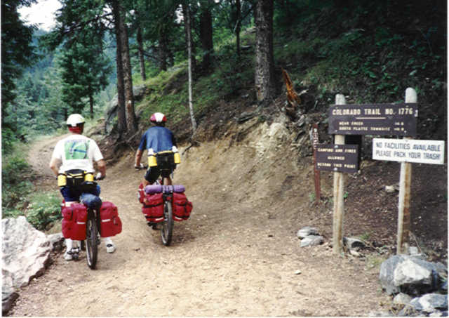
Day 1 of Jerry Brown’s inaugural ride on the Colorado Trail in 1990. Photo Credit: Jerry Brown
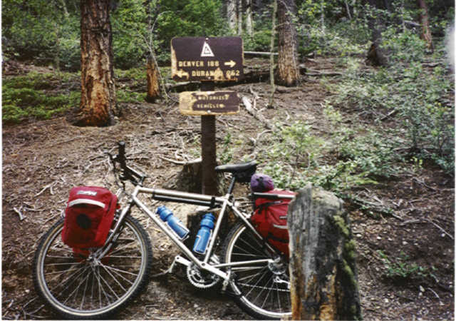
Day 8, near Leadville. Photo Credit: Jerry Brown
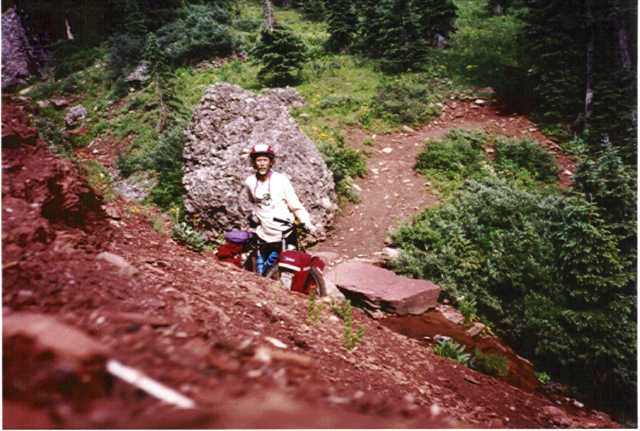
Day 16, near Molas Pass in the San Juan Mountains. Photo Credit: Jerry Brown
When Brown left Waterton Canyon near Denver in 1990, he assumed that he’d run into another bicyclist on the trail.
“I didn’t run into anybody!” he says. “I had an airplane fly over me near Saguache, and when I got to a road crossing, there was a sheriff and he said, ‘What the hell, I thought I was hallucinating!’” The officer had been dispatched to look for lost hikers, and when Brown popped out of the woods on a bike, well, he must have seemed otherworldly. If mountain biking was a relatively unknown sport in 1990, loading up a mountain bike with road bike touring gear was almost unheard of.
“I was using regular panniers, front and rear, on a hardtail no-shock bike and carrying a tremendous amount weight because I didn’t know better,” says Brown. “It was a Merlin Mountain, one of the first titanium frames. It was an ’89 model…Rockshox just came out, but I didn’t have one.”
Brown finished the trail, arriving in Durango 18 days later and 20 pounds lighter. “It was a hoot!” he says. He loved the trail so much, he came back the next year to repeat some sections with friends on foot. And he kept coming back in the years to follow to hike the trail. He didn’t bring his bike back to the CT until 10 years after his first ride. This time, Brown, an accomplished surveyor and cartographer, was going to make a map of the CT. You’d think his load would have lightened considerably, but now he was schlepping 27 additional pounds of surveying gear and equipment.
Although Brown had worked as a surveyor for a seismograph company since his early 20s, mapping the CT didn’t cross his mind during any of his first forays on the trail. At that time, the CT map was no more than a red squiggle where people estimated the trail’s path, says Brown. Users could purchase a set of maps from the CT Foundation that were made by the United States Forest Service (USFS) with funding from REI and the Colorado Lottery. Manning explains that the original CT maps weren’t an anomaly. “A hand drawn line is how all sorts of good maps were made throughout history,” he says. “Educated guesses, right?” On his inaugural ride, Brown brought those maps—which he says were “pretty crummy”—and used them with the Colorado Trail Guidebook (which offered advice such as: “Look to the south and you’ll see three peaks. Go between the first two,” recalls Brown) and a compass for navigation.
When GPS and surveying technology improved, the CT Foundation published a plea in their newsletter, Tread Lines, in 2000 asking for volunteers to help them make better maps. Brown replied immediately.
“They wanted to see if people would carry a Garmin GPS and map the trail with it,” he says. “But [Garmins] were horrible then, not suited for something like that.” Brown replied that he had better equipment to survey the trail and volunteered to do the work. His own top-of-the-line equipment allowed him to record a position every second as the trail was either hiked or mountain biked. Still, in 2000, the gear was heavy. Each battery for Brown’s GPS unit, a survey-grade Pathfinder PRO XRS GPS receiver that charted satellite signals, weighed 2.5 pounds and only lasted two hours.
“Picture an old lead acid battery that you put in a camcorder,” says Brown. He recruited friends and volunteers to hike in new batteries and tote out the old ones throughout the entire trail. When he met with volunteers to switch out batteries, Brown would download the data onto hard drives that they also hiked in. In total, over 466,000 positions were recorded in either 1- or 5-second intervals.
“The resulting trail alignment was stunning in its detail and accuracy,” says Brown. Rather than relying on the helpful yet limited narrative instructions in the Colorado Trail Guidebook, CT users now had data. The maps made from Brown’s 2000 survey are still the official map source of the Colorado Trail Foundation. While the maps can be purchased in a spiral bound book or CD set from the CT Foundation, it’s important to note that any map of the CT—be it app, GPX file, or wall poster—contains the data collected from Brown’s second bike ride on the trail.
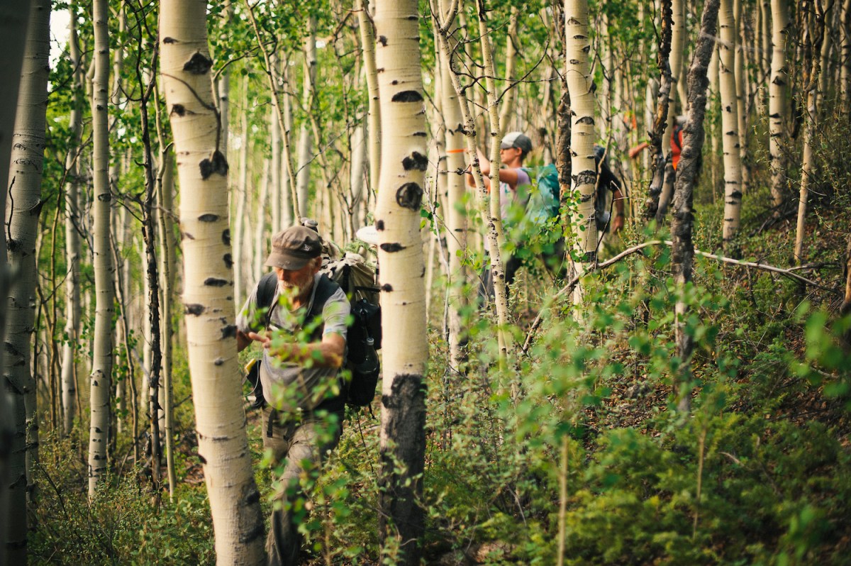
Jerry Brown leads a team of surveyors in 2013 in the Cochetopa Hills, between Saguache and La Garita Wilderness. Photo Credit: Jerry Brown
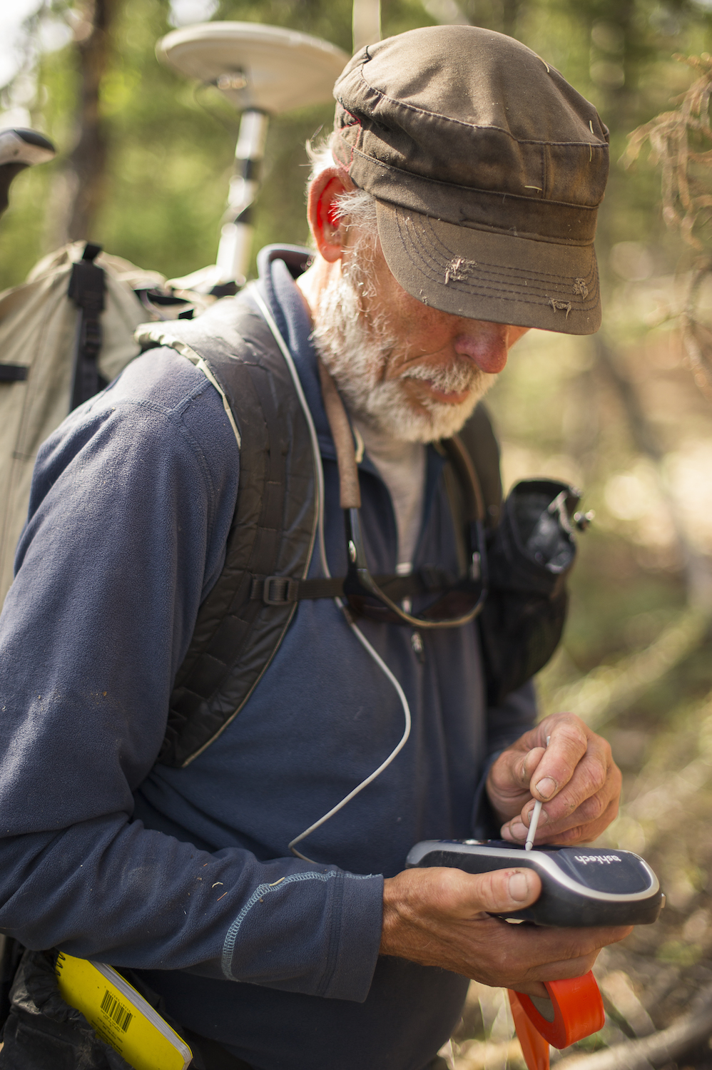
Jerry Brown made the maps that everyone uses on the Colorado Trail. Photo Credit: Jerry Brown
“Jerry’s mapping has made its possible for CT travelers to know how far it is, and—with precision—where the next water source is and how high the next climb is,” says Manning. “His survey work has made all the difference for CT users.”
On June 16, Brown left for the CT again, this time on foot. Lighter than ever, he’s carrying two small GPS units. The one mounted to his hat weighs a mere four ounces. The purpose of his hike isn’t for an accurate survey, he says, but to verify that nothing has changed and to take some pictures for the CT app he works on. If he makes it to Durango, this will be Brown’s seventh time completing the CT.
Unlike his first tour of the trail in 1990, Brown will likely see other bicyclists on the trail this summer as interest in riding the trail end to end continues to grow. The unsupported Colorado Trail Race begins in Denver on July 29. (Last year, 18 people completed the endurance bikepacking race, with finish times ranging from five to 12 days.), Thanks to Brown, anyone on the trail can rest (or ride, or hike) assured that they’re exactly where they think they are on the map.
