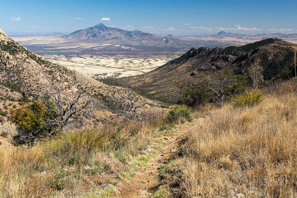
Hike, horseback ride, mountain bike or even snowshoe on the Arizona Trail from Mexico to the Arizona-Utah border. Established in 2009, this 800-mile trail is open to plenty of adventure.
Distance: 800 miles
States: Arizona
Year Established: 2009
Best Times of Year to Visit: Year-round

Photo courtesy of the Arizona Trail Association.
Notable Spots Along Trail:
- Hike from the oak-studded grasslands along the U.S.–Mexico border to aspen groves at nearly 9,000 feet in just 20 miles in the Huachuca Mountains.
- Gila River Canyons in central Arizona follows the river it is named for through some of the most spectacular geology and Sonoran Desert vegetation in central Arizona.
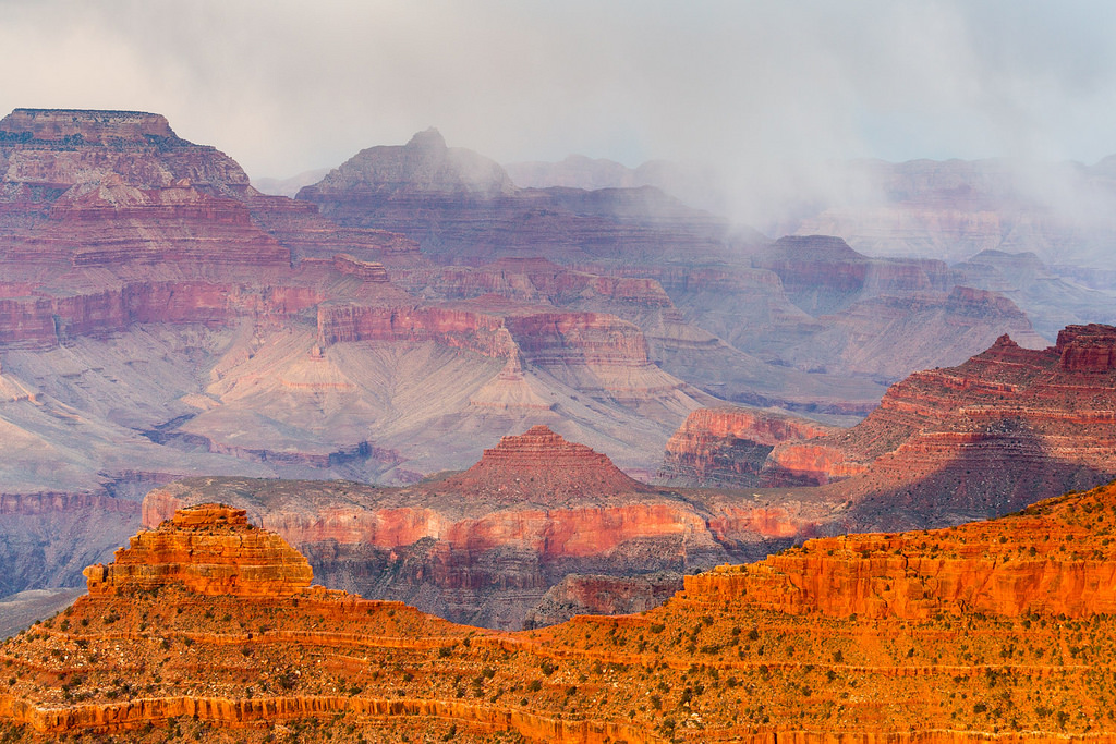
- Walk from rim to rim in Grand Canyon National Park in northern Arizona and experience 2 billion years of geology during this 24-mile epic section.
Fun Facts, According to the Arizona Trail Association:
- Everyone who finishes the AZT (either all at once or after many years of hiking, biking or riding segments) receives a copper belt buckle from the Arizona Trail Association as a completion award.
- The AZT passes through Grand Canyon, with an average depth of 1 mile.
- The highest point of the trail is the Kaibab Plateau, at 9,148 feet.
- The AZT passes through the largest contiguous ponderosa pine forest in North America.
- Eighty-five percent of the AZT is on federally owned land and the trail could not exist without public lands.

Photo courtesy of the Arizona Trail Association.
Trail Uses: Hiking, backpacking, trail running, mountain biking, horseback riding, cross-country skiing and snowshoeing.
Administering Agency: U.S. Forest Service
Nonprofit Partner: The Arizona Trail Association
Permitting Information: Permits are required for overnight camping in a few areas, including the national park the trail passes through.
REI’s Involvement: The co-op has invested more than $202,000 in the AZT since 2003.
Read More:
- How to Prep for a Long-Distance High Desert Hike
- Mountain Bike Spring Break: Ever-Sunny Tucson, Arizona
- One to One With Mother Earth
Learn more about all of our national scenic trails.


