Welcome to the Magic City. Tucked in the Appalachian foothills, Alabama’s largest metropolis earned it’s nickname after it seemingly appeared overnight in the 1870s when mining companies and iron foundries sought the ore deposits in its low mountain ridges. Today, those mines are gone, leaving behind a historic downtown, important cultural sites, vibrant culinary scene and some truly amazing terrain for hikers to explore.
Marian Harnach Nature Trail
- Location: Ruffner Mountain Preserve, 9 miles northeast of Birmingham
- Length: 0.8-mile lollipop loop
- Difficulty Rating: Easy
- Best For: An educational outing for families and beginners
- Dogs: Leashed
Once an old mine site, Ruffner Mountain is now home to trails where you can spot everything from wildflowers and ferns to frogs, turtles and bats. Children and adults alike will love trying to identify new plants and animals on the informative Marian Harnach Nature Trail using the trailside interpretive signs. After your hike, visit the Exhibit Hall at the Nature Center to view even more native species. Or swing by the Animal Care Department to learn about the park’s work rehabilitating injured animals.
Old Mill via Jemison Park Trail
- Location: Jemison Park, 7 miles southeast of Birmingham
- Length: 2.4-mile round-trip, out and back
- Difficulty Rating: Easy
- Best For: A shaded stroll to a historic mill
- Dogs: Leashed
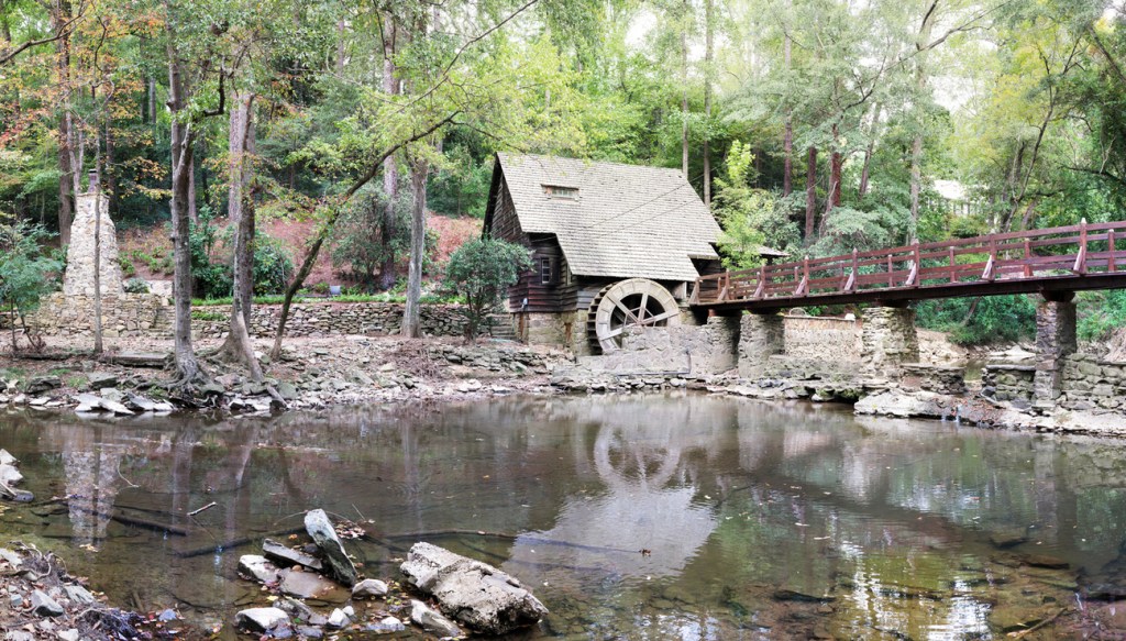
In 2018, the Jemison Park Trail was voted the region’s number one walking and running trail in a poll sponsored by AL.com and Birmingham Magazine. The wide path, near the city of Mountain Brook, winds through tunnels formed by tree branches, with scenic creek crossings and wildflowers, which typically bloom from March to June. The shallow water of Shades Creek adds a peaceful soundtrack to the hike, and be sure to take some time to enjoy the Old Mill, a historic waterwheel with a bridge across the creek.
Botanical Gardens Walking/Jogging Trail
-
- Location: Birmingham Botanical Gardens, 4.9 miles southeast of Birmingham
- Length: 2.0-mile loop
- Difficulty Rating: Easy
- Best For: A curated nature excursion
- Dogs: No dogs
The 67-acre Birmingham Botanical Gardens, Alabama’s largest living museum, offers an outstanding mix of native and foreign plants. The garden’s 30 thematic gardens are connected by a web of wide, gravel paths and narrow side trails. This 2-mile route takes you past the Japanese, rhododendron, bog and rose gardens to name a few horticultural highlights. Keep your eyes open for sculptures and other artwork along the way, then swing by the Conservatory to see exotic tropical and arid plants and rotating seasonal displays.
Narrows Ridge Full Loop
- Location: Turkey Creek Nature Preserve, 16 miles northeast of Birmingham
- Length: 3.5-mile loop
- Difficulty Rating: Easy/intermediate
- Best For: Year-round hiking and a summer swimming-hole retreat
- Dogs:Leashed
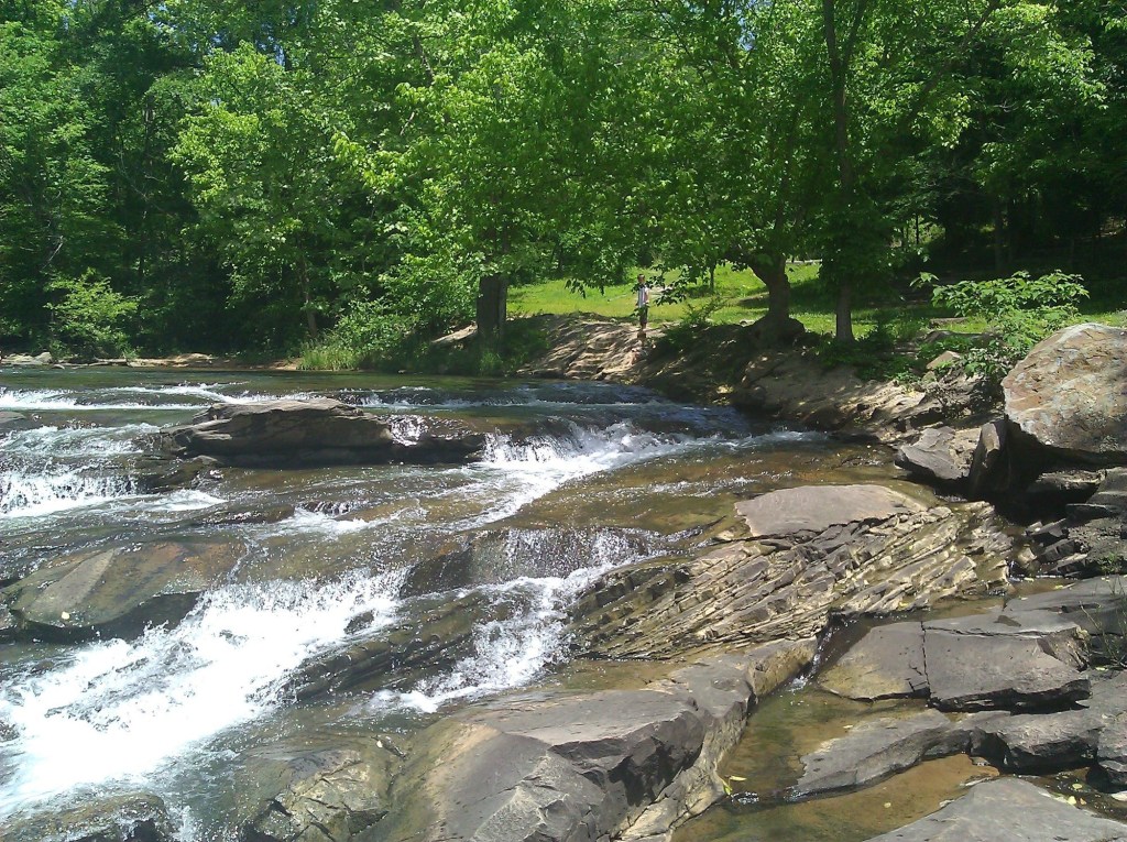
Turkey Creek Nature Preserve is home to some of the best scenery in the state. Five miles of trail wind through a biologically diverse area that is home to three endangered fish species and a variety of birds. And with a rich history—including a grist mill and small iron forge which once operated along the shores of the creek—you’ll have plenty to explore. Though it’s especially scenic in autumn, when the woodlands turn shades of orange and yellow, this loop also includes a stop at Turkey Creek Falls, one of the Alabama’s most popular summer swimming holes. It’s a natural waterslide, so expect the area around the cascade to be popular (and noisy) on hot days.

Turkey Creek Nature Preserve (Photo Credit: nousernameforme under CC BY SA)
Boulder Gorge Loop
- Location: Moss Rock Preserve, 12 miles south of Birmingham
- Length: 2.1-mile lollipop loop
- Difficulty Rating: Intermediate
- Best For: Waterfall views, wildflowers and interesting rock formations
- Dogs:Leashed
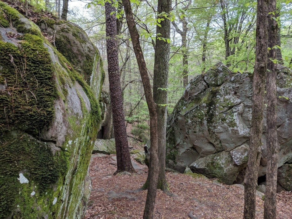
Moss Rock Preserve touts this 2.1-mile hike as one of its best. Surrounded by forests of longleaf pine and mountain laurel, you’ll meander along the banks of Hurricane Creek until you reach High Falls cascade. While the falls offer a soothing place to cool your feet, don’t linger too long, as there is more to see on this loop. In addition to a hike over a small natural bridge and a spin though the Rock House Boulders (home to some of the state’s best climbing), you’ll get a glimpse of a rare sandstone glade where trees, grasses and wildflowers grow from slabs of pavement-like rock. These glades are fragile and contain rare plants, so be sure to stay on the marked trail. Visit in spring when the abundant mountain laurel blooms, adding a fairy-tale quality to the lush landscape and mossy boulders.

Moss Rock Preserve (Photo Credit: Hiking Project contributor Daniel Meacham)
Red Mountain Loop
- Location: Red Mountain Park, 7.3 miles southwest of Birmingham
- Length: 8.1-mile loop
- Difficulty Rating: Intermediate
- Best For: An adventurous outing for the entire family
- Dogs: Leashed
Red Mountain Park, a green space just 25 minutes southwest of the city center, is steeped in history. There are more than 15 miles of trails to explore, but this forested, 8-mile circuit will take you on a tour of many of the best sights including side trips to see historic mines and the city views from Ishkooda Overlook. The park is also home to zip lines, tree houses, a ropes course and a 6-acre dog park.
Tannehill Ironworks Loop
- Location: Tannehill Ironworks Historical State Park, 29 miles southwest of Birmingham
- Length: 6.7-mile lollipop loop
- Difficulty Rating: Intermediate/difficult
- Best For: Equally delightful servings of history and scenery
- Dogs:Leashed
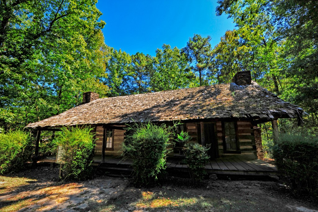
Among the scenic hardwood forests of Tannehill Ironworks Historical State Park, you’ll find cabins, cotton gins, gristmills and massive stone furnaces. The hiking trails, some of which trace the paths of historic railways, have a rustic, old-timey charm. This narrow, pine- and oak-shaded loop hits both historical and scenic highlights like the small waterfall along Mud Creek. Interested in more history? Visit the Iron and Steel Museum after your hike to view mining artifacts, or plan your trip for March through November, when traditional artisans can be found crafting pottery, artwork, quilts and more.

Historic site at Tannehill Ironworks. (Photo Credit: Hiking Project contributor Josh Moore)
Oak Mountain 20-Miler
- Location: Oak Mountain State Park, 20.5 miles south of Birmingham
- Length: 19.7-mile point-to-point
- Difficulty Rating: Intermediate/difficult
- Best For: A long distance day hike or backpacking trip
- Dogs:Leashed
Despite its name, this point-to-point trek through Oak Mountain State Park clocks in at just under 20 miles. We’ll forgive it because the miles fly by as you take in the woodlands, creeks, waterfalls, wildflowers, foliage and overlooks of Alabama’s largest state park. Do it in one very long day or shoulder your overnight pack for a great two-day excursion. Just be sure to grab a permit and camp at one of the designated backcountry sites.

