Los Angeles is a perpetually sun-drenched, palm-dotted paradise—the perfect year-round outdoor vacation destination.
So goes the thought process of millions of visitors to the region, who often assume that late spring and early summer would be a great time to visit—only to be greeted with early morning fog that can linger well into the afternoons. This is a phenomenon locals call “June Gloom” (or, depending on the month, “May Gray” or “No-Sky July”).

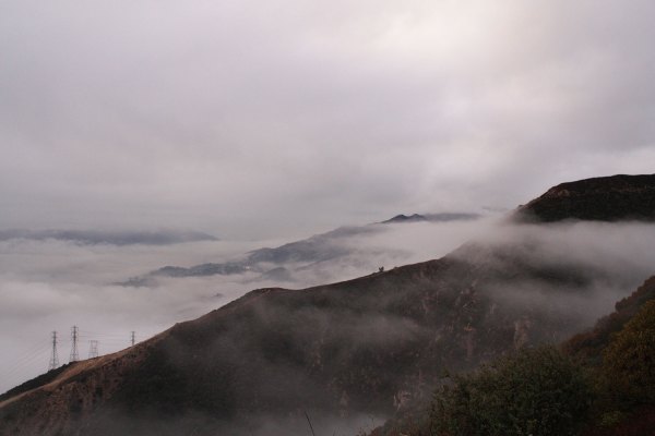
The June Gloom above Pasadena.
Our June Gloom is caused by a marine inversion layer. This happens when cold Pacific Ocean waters and high-pressure systems create a massive blanket of clouds than can often reach inland to the San Bernardino Mountains. The good news for outdoor adventurers, though, is that the clouds are relatively thin. The mountain ranges that surround Los Angeles are full of great hikes that are above that elevation, which means that while others cancel their outdoor plans at the sight of morning clouds, you’ll be lacing up your boots and slathering on sunscreen.
Here are three great hiking destinations to chase that June Gloom away.
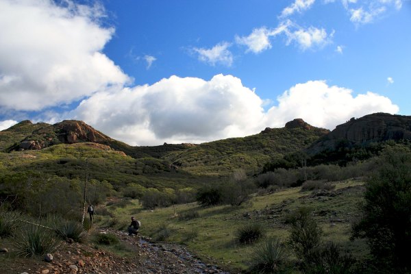
Because the Santa Monica Mountains are relatively low and close to the coast, there aren’t a ton of reliable trails that let you can break through those gray skies. The one potential exception also happens to be one of the best hikes in the entire region: Sandstone Peak. At 3,114 ft., the tallest peak in the range can be reached on a stellar sixish-mile loop (depending on the trailhead). You may be caught in the clouds the whole time, or you may hike above them just as you reach the summit, an experience a friend once described as “like being Mayor of Cloud City.”

Hikers enjoy the sun above breaking clouds on the way to Sandstone Peak.
For more reliably blue skies above the gray, head to the taller San Gabriel Mountains to the northeast of downtown Los Angeles.
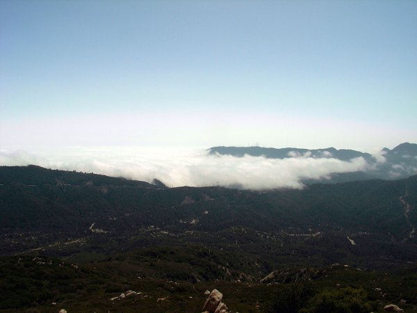
It’s been said that centrally located Mount Wilson (5,712 ft.) offers more ways to reach its summit than any other peak in Southern California. You can trek to the summit through riparian canyons and chaparral-covered cliffs on a tough 13-mile-or-more hike from Chantry Flats—or just drive your car up.

Dotted with radio towers, the ridge of Mount Wilson often shields the valleys to its north from the gloom.
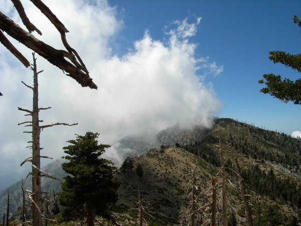
Further east, more adventurous hikers can beat the Gloom with an early morning drive through Mount Baldy Village in Icehouse Canyon. One of the most popular trails in the region, it stretches four miles from the trailhead at just under 5,000 ft. to Icehouse Saddle at 7,555 ft., along a gorgeous year-round creek shaded by pines. At the Saddle is a major trail junction. For the best views of the clouded cities below, head to the popular cliff-summit of Cucamonga Peak (8,859 ft.). Or, take the longer route along a picturesque and lightly traveled ridge between Ontario (8,693 ft.) and Bighorn (8,441 ft.) peaks to watch the Gloom break on the south-facing mountain slopes. Keep your eyes peeled for bighorn sheep and enjoy knowing that most of the people below the clouds are probably still in bed.

From the ridge between these peaks, it’s often cloudy to the south and full sun to the north.
