Passing through three national parks and seven national forests, the Pacific Northwest Trail spans 1,200 miles. Designated by Congress in 2009, it’s one of the newest national scenic trails.
Distance: 1,200 miles
States: Washington, Idaho and Montana
Year Established: 2009
Best Times of Year to Visit: Summer and fall

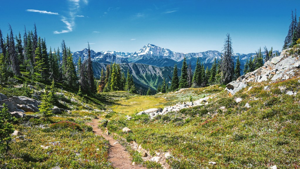
Jack Mountain. Photo courtesy of the Pacific Northwest Trail Association.
Notable Spots Along Trail:
- Cape Alava, Washington, the PNT’s western terminus, is the westernmost point of the contiguous United States.
- Washington’s Cathedral Pass, the highest point of the PNT, is located in the heart of the Pasayten Wilderness, a portion of the PNT where hikers and equestrians can travel 160 miles without encountering a road.
- The PNT crosses the Koocanusa Bridge, the longest (2,437 feet) and highest (270 feet) bridge in the state of Montana.
Fun Facts, According to the Pacific Northwest Trail Association:
- The first five thru-hikes of the PNT were completed in 1977.
- The PNT connects with two other national scenic trails: the Pacific Crest Trail in Washington, and the Continental Divide Trail in Montana.
- The Pacific Northwest Trail follows the path of a drop of rain that lands on the Continental Divide in Montana and rolls its way to the Pacific Ocean.

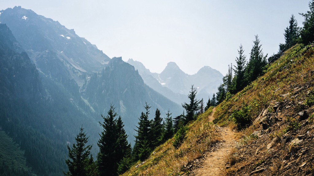
Buckhorn Wilderness. Photo courtesy of the Pacific Northwest Trail Association.
Trail Uses: Hiking and backpacking are allowed on the full length of the trail. Equestrian use is permitted on most of the trail. Cycling is allowed outside of wilderness and national parks at the discretion of local land managers.
Administering Agency: U.S. Forest Service
Nonprofit Partner: Pacific Northwest Trail Association
Permitting Information: No trail-wide permit exists for the Pacific Northwest Trail, but permits are needed to camp in backcountry campsites in Glacier, North Cascades and Olympic National Parks.
REI Stewardship: The co-op has invested $10,000 in the PNT since 2004.
Read More:
- How to Train for Thru-Hiking
- Semi-Rad: Weeknight Camping Is Worth Your Time
- Backpacking Etiquette: How to Not Be *That* Newbie
Learn more about all of our national scenic trails.


