Firefighters are battling at least 53 active large wildfires nationwide, according to the National Interagency Fire Center. That list includes the Spring Creek Fire, the second single-largest fire in Colorado’s history. At more than 107,000 acres—the equivalent of almost 81,000 football fields—the burn area is around three percent of the total acreage that’s been charred across the country this year.
As recreationists and adventure travelers adapt their summer plans—and how they recreate—due to the fires, the outdoor and travel industries absorb the shift. For some businesses, the financial repercussions are significant.

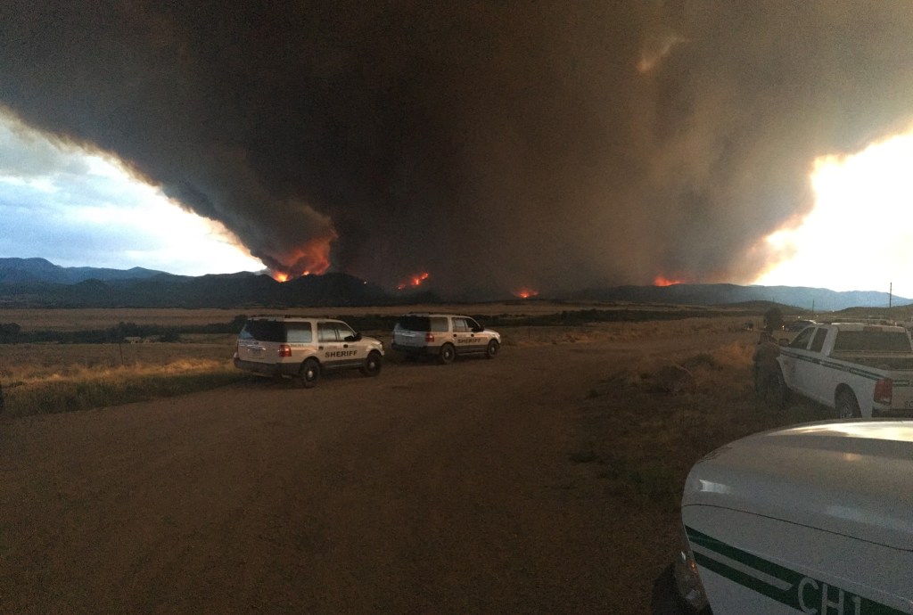
The 416 Fire is burning north of Durango, Colorado. (Photo Credit: U.S. Forest Service)
Nine out of 14 wildfires in Colorado are considered large—more than 1,000 acres. The 416 Fire—54,129 acres, 50 percent contained—forced a nearly three-week closure of San Juan National Forest, until June 21, which impacted the economies of Durango and Silverton, Colorado. The Durango & Silverton Narrow Gauge Railroad, which threads the San Juan, canceled 31,000 reservations for the month of June: the equivalent of $33 million for the local economy, reported the Durango Herald. A portion of those tickets belong to backpackers who hop off at the Needleton and Elk Park stops. Ash and soot filled the Animas River and Hermosa Creek, which impacts the river ecology and fish survival, shared Kami Swingle, founder of Braided, a local fly fishing group that introduces women to the sport and organizes community-inclusive conservation clinics for issues such as native cutthroat recovery. More than a million and a half visit the San Juan each year—most in the summer—and spend an average of $700 in the community, according to Colorado Public Radio.

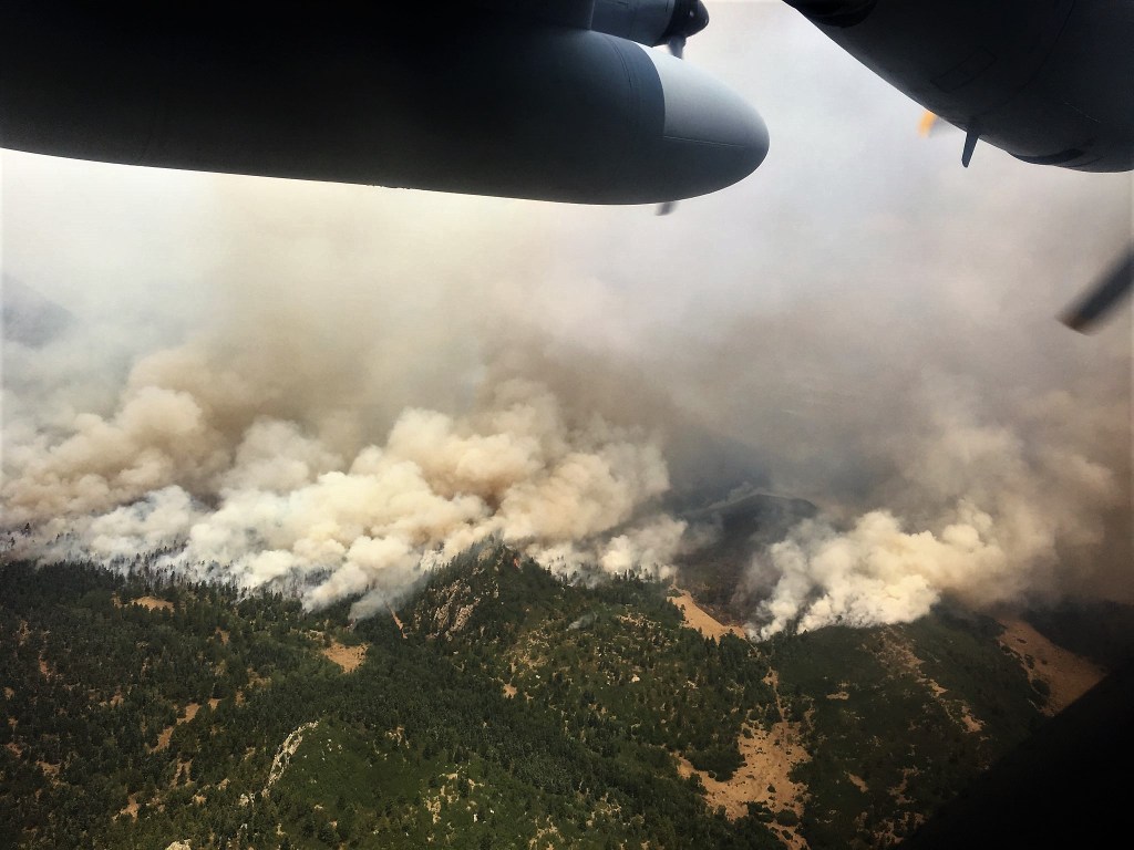
The view of the Spring Creek Fire from an Air Force Reserve Modular Airborne Fire Fighting System-equipped C-130 Hercules aircraft in Colorado, July 2, 2018. (Photo Credit: Air Force Reserve Command’s 302nd Airlift Wing)
“It’s too early to tell how Spring Creek [77 percent contained] will impact recreation and the economy. It’s been one week,” said Barb Timock, public affairs officer for Pike and San Isabel National Forests, Cimarron and Comanche National Grassland. “Spring Creek is large, but it’s a small percentage of the public lands in Colorado. More than three million acres are in the Pike/San Isabel National Forests alone. [Recreationists] often say, ‘If I can’t go there, let’s go somewhere else,’ like the San Juan or Rio Grande National Forests. There’s a shift of where people go,” she explained.
Still, one initial concern for business owners and communities impacted by the Spring Creek Fire is damaged infrastructure. In Chaffee County, Verizon Wireless subscribers lost all phone and most texting capabilities when the fire damaged fiber optic lines, according the the Chaffee County Sheriff’s Office. The outage, which also impacted access to 911 services, lasted for several days. Retailers, including Alamosa-based Mark’s Outdoor Sports, were unable to process credit cards or communicate with customers online or via phone, as well.
Kalisha Johnson, office manager of Mark’s Outdoor Sports, is concerned for the fire’s impact on air quality and scenery, which might be a long-term deterrence for the area’s most popular recreationists: big game hunters, off-road motorcyclists and ATV drivers, campers and visitors who ride the train.
The Rio Grande Scenic Railroad, which goes east from Alamosa to La Veta and crosses Fort Garland, is adjacent to the fire’s epicenter. When the Spring Creek Fire began on June 27, the train halted trips. The railroad’s tracks and iconic boxcar stage burned down. Trips resumed July 9, but stage repairs hinge on a $250,000 deductible before it can be rebuilt.

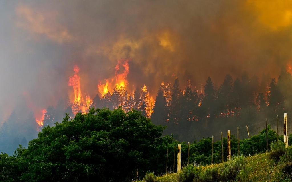
The Spring Creek Fire, which began on June 27, has burned more than 107,000 acres. (Photo Credit: Spring Fire)
Costilla and Huerfano County officials say that so far, 216 dwellings have been destroyed due to the Spring Creek Fire, which officials determined was human caused. A suspect has been arrested.
The Spring Creek Fire is less than 30 miles south of Great Sand Dunes National Park. The fire intersects the Sangre de Cristo Mountains, which encompasses a cluster of the state’s 14,000-foot peaks, which are popular among climbers and hikers. The Park’s visitor center was busy with a steady summer crowd and unavailable for comment.
“[A portion] of the Spring Creek Fire is on private land, so it won’t impact public land features, like trails and trailheads, as much as the [416 and Burro] fires,” said Eric Burt, owner of Kristi Mountain Sports, in Alamosa. Burt says store sales were down 50 percent over the week of the 4th of July holiday, due to road closures from the fire. “Closing Highway 160 had the biggest impact. That’s a major artery for tourists who fly into Denver and drive to the Sand Dunes and Mesa Verde National Parks. Some people persisted and used Highway 285, but it was a mixed bag,” he explained.
North of the Spring Creek Fire in Westcliffe, Mike Smithwick, owner of Bear Basin Packtrips, says they haven’t had problems with smoke and notes a dry spring season is common. “But a lot of people are not coming to town, because they can’t have campfires when they camp,” Smithwick said. Compared to last year, Bear Basin’s overall income is down by 40 percent, a dip that Smithwick says reflects the dry conditions.
Colorado’s snowpack hit a 30-year low, which fed below average streamflow. The state’s southern half—and the entire Southwestern U.S.—was a declared disaster zone by the United State Department of Agriculture, due to the severe drought.

The Lake Christine Fire, burning near Basalt, Colorado, has burned more than 6,000 acres. (Photo Credit: Brandon Huttenlocher Visuals)
Beyond the Centennial State, crews are fighting at least six large fires in California and another five large fires in Utah. Northern California’s County Fire, which is now 80 percent contained, has burned more than 90,000 acres. Utah’s Dollar Ridge Fire—52,068 acres, 45 percent contained—has triggered at least 1,100 evacuations, according to the Duchesne County Sheriff’s Office, and nearly 900 personnel are working to restrain the flames. The impact to outdoor recreation and economies in California and Utah are still to be determined.
In general, 84 percent of fires are human-triggered, according to a 2017 study published by the National Academy of Sciences. To help protect recreationists, many land managers across the west have declared fire restrictions.
Folks can check online for announcements and plan ahead, like packing a backpacking stove for cooking food in Pike/San Isabel and White River National Forests, which both reached Stage II Fire Restrictions: no open flames, firearms, chainsaws or ATVs without a spark arresting device, or smoking. Before driving to the trailhead, check for closure updates with local road and land management. At the trailhead or gate, check for closure signs.
As for the wildfires, hopefully natural weather helps to calm down the heat and the health of forests benefit in the long run.
“If fires are allowed to take their natural course (if they are monitored and aren’t going to impact homes or endanger people), then future wildfires aren’t as intense and the area comes back healthier,” said Timock.
Ahead, temperatures near the Spring Creek Fire are expected to remain high—between 70 to 80 degrees—with potential gusts of wind and isolated thunderstorms Wednesday night.
