You’d be forgiven for believing California’s Palm Springs is only about second homes, swimming pools and midcentury modern architecture. After all, the Coachella Valley’s unofficial capital has houses enough for double its number of actual residents, and 90 percent of those homes feature some kind of pool. But there is so much more to do outdoors than simply bask in a sun-soaked lounge chair or tee off at one of the 50 golf courses within 20 miles of the city.
Palm Springs may lie in a long flat desert, but it also sits squarely on the San Andreas Fault, ringed by millennia of geological activity. This biodiversity hotspot features dozens of rare species, from the fringe-toed lizard to the Coachella Valley milk vetch, a flowering desert herb. All of this is yours to explore via a stunning array of hikes, which range from stretches of the world-famous Pacific Crest Trail to desolate day hikes on which you are almost sure to get lost at least once. (Don‘t worry. That’s part of the fun.) A morning hike in the sand dunes can be followed up with an afternoon in pine forests at 9,000 feet of elevation. The north face of Mount San Jacinto is the steepest escarpment in North America, and these elevations reveal views upon views upon views.
Here are a few of our favorite dusty trails.
Randall Henderson Trail
Location: 17 miles south of Palm Springs
Length: 2.4-mile loop
Difficulty Rating: Easy
Best For: An introduction to hiking in the desert
Dogs: No dogs

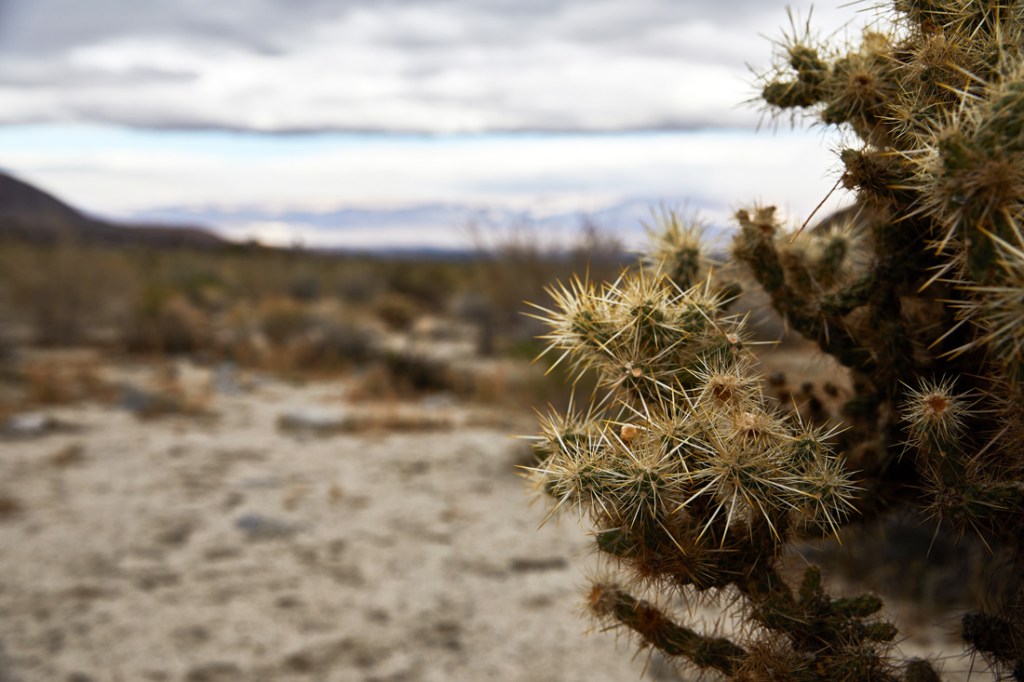
A cactus along the Randall Henderson Trail.
This trail is one of the first places Friends of the Desert Mountains conservation coordinator Colin Barrows sends newcomers. It’s easy, it starts right at the visitor’s center of the Santa Rosa and San Jacinto Mountains National Monument, and it’s a low-stakes introduction to what it’s like to hike in the desert. What is it like to hike in the desert? It can be disorienting, more dehydrating than most people anticipate and often underestimated. It’s also magical. Expect views of the valley, cool cacti, flowering chaparral and a series of three connected loops—the Wash, Cholla and Canyon—and plenty of options to bail.
The Art Smith Trail
Location: 17 miles south of Palm Springs
Length: 12 miles point to point
Difficulty Rating: Intermediate/difficult
Best For: Coachella Valley views, a quad-burning climb
Dogs: No dogs

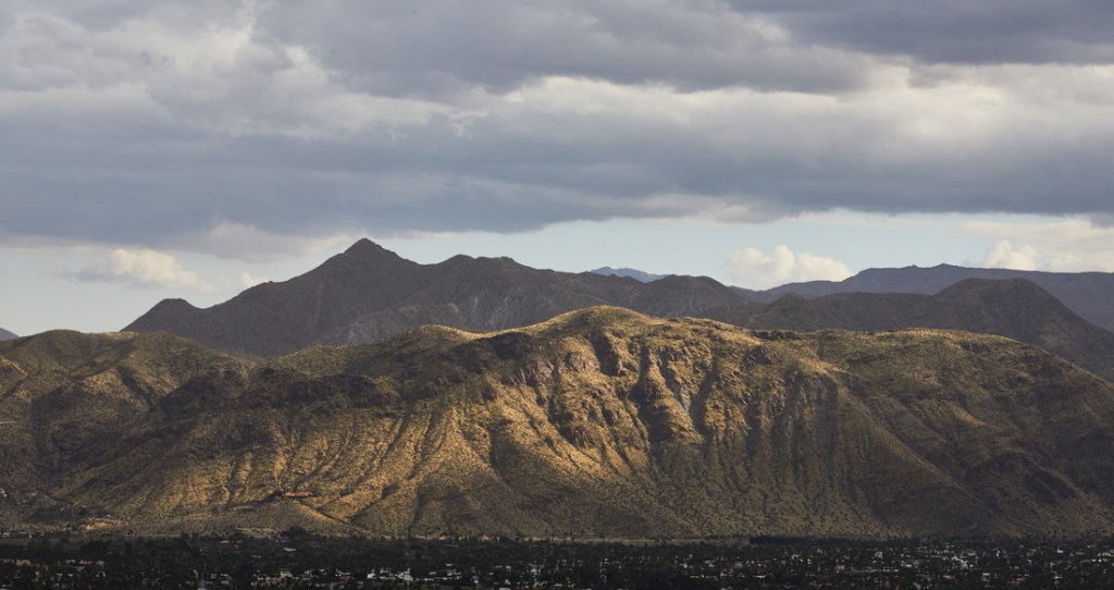
The view from the Art Smith Trail.
Just across the road from the same visitor’s center, you’ll find the Art Smith, which can be hiked in two different directions en route to three different oases. To reach the farthest would require an all-day trek, but hikers can make it to the first one after a short but steep jaunt into the foothills of the Santa Rosa Mountains. (Just remember to stay close to the trail to help protect and preserve these important habitats.) At the right time of morning or early evening, hikers might spot the elusive bighorn sheep, though locals joke that the best place to see these woolly mammals is actually on the golf course, where they’re often found lapping pond water or eating fresh grass. The top of the trail connects to the Hahn Trail and back toward Palm Springs via Dunn Road, if you’d rather shuttle than hike back the way you came.
The Indio Hills Badlands Trail
Location: 25 miles east of Palm Springs
Length: 5.3-mile lollipop
Difficulty Rating: Intermediate
Best For: An exploration of landscape affected by earthquake faults
Dogs: Leashed
This brand new connection of a few different previously disjointed trails opens in March 2020. It’s a loop, stretching from northeast Indio’s Desert Park to the furthest end of the Indio Hills, the mud slopes that run down the middle of the Coachella Valley and pass over the San Andreas Fault. Once a flat, ancient seabed, the entire landscape is now defined by the joinder of the Pacific and North American plates, grinding together to uplift hills exposing geological layers, slot canyons and warped hills.
Pacific Crest Trail, Warner Springs to Highway 10
Location: 79 miles south of Palm Springs
Length: 100.3 miles point-to-point
Difficulty Rating: Extremely difficult
Best For: Traversing a legendary route
Dogs: Yes
While the PCT famously stretches from Mexico to the Canadian border, there is a lovely piece of it that crosses winding Highway 74 near Palm Springs as the trail traverses the valley. Go in either direction for a nice day hike and turn around when you’re ready. Heading south takes you toward Anza-Borrego Desert State Park, or trek north through oak woodlands, pine and chaparral with sweeping views of Garner Valley to Gold Shot Stamp Mill, a massive mineral-processing machine left over from an abandoned mine.
South Ridge Trail
Location: 50 miles southwest of Palm Springs
Length: 3.8 miles point to point
Difficulty Rating: Intermediate/difficult
Best For: Escaping the desert heat
Dogs: No dogs

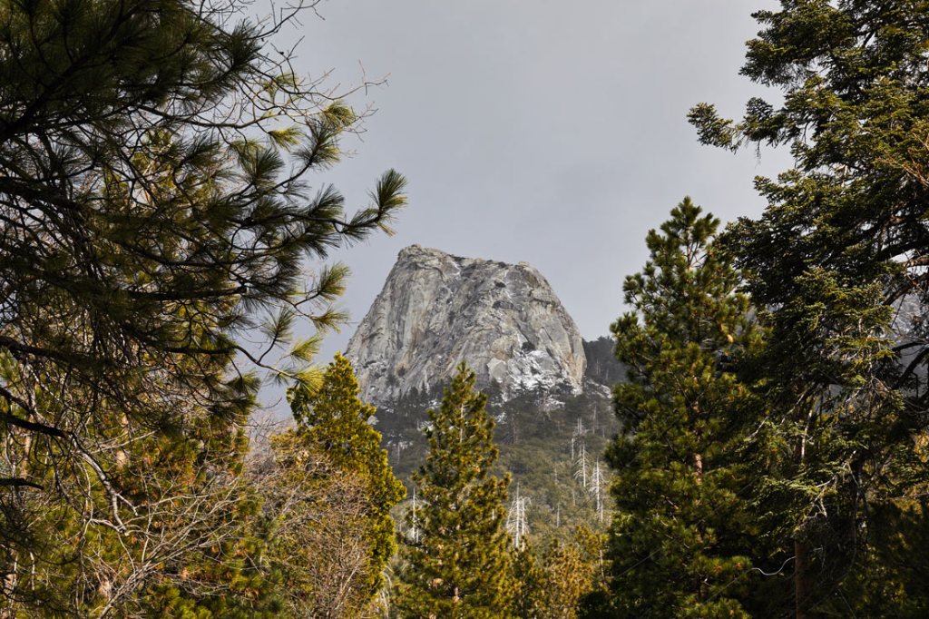
A gap in the trees along the South Ridge Trail reveals a rocky spire.
Deeper into the mountains lies the charming, high-elevation town of Idyllwild and the South Ridge Trail, a respite from punishing valley temperatures that’s typically too snowy in the winter to hike. The steep route begins in town and snakes its way up 8,846-foot Tahquitz Peak, where a short spur trail will take you to a summit-top fire lookout. From there, the trail works its way around the mountain for a look back at the wine country town of Temecula and back into the Coachella Valley.
Painted Canyon and Ladder Canyon Trail
Location: 48 miles southeast of Palm Springs
Length: 4.5-mile loop
Difficulty Rating: Intermediate
Best For: A hidden, slot-canyon romp
Dogs: Leashed
This slot canyon owes its existence to the San Andreas Fault, which pushed the landscape around to create striking cliff faces and narrow squeezes through rock formations. The hike requires ascending ladders to complete the loop. Flash floods can sometimes close the trail, and it’s not the best-marked trail in the area so watch the weather and your surroundings carefully. But it’s a chance to experience the beauty of tectonic shifts and a landscape carved by time.
Spitler Peak Trail
Location: 49 miles southwest of Palm Springs
Length: 10.7 mile out and back
Difficulty Rating: Difficult
Best For: Habitat diversity
Dogs: Leashed
The Spitler Peak trail takes hikers to the Desert Divide, the ridge system that stretches south of the main summits of the San Jacinto Mountains, and on to its namesake mountain. It’s been rebuilt over the past two years after a forest fire destroyed most of the route but it’s once again in great shape and easy to follow. The trail begins in the Santa Rosa-San Jacinto Mountains National Monument and works its way up to the PCT and Spitler Peak, where commanding views of the desert and back to Garner Valley are your reward. There’s a fine mixture of habitats on this route, from oak woodland to chaparral, and plenty of stream crossings. The trail is recovering from a wildfire, which means it is bursting with wildflowers from May to July.
Dunn Road Hiking Trail
Location: 9 miles southeast of Palm Springs
Length: 14.7 miles point to point
Difficulty Rating: Easy/intermediate
Best For: A close-to-town ascent into quiet desert
Dogs: No dogs
Dunn Road, a doubletrack dirt traverse is often used by mountain bikers to access a network of singletrack trails in these foothills of the San Jacinto Mountains. But it’s also a quick way for hikers to gain some elevation and views of the Coachella Valley without worrying about getting lost—as long as you stay on the road or are very careful when leaving it. The middle sections of the Dunn Trail are isolated and quiet, with desert landscapes all around and a perfect perch to admire the San Jacinto Mountains. Dunn connects to the Art Smith trail back toward Palm desert about a third of the way up, if you want to make a shuttle of it.
The Cactus to Clouds Trail
Location: Palm Springs
Length: 20 miles point to point
Difficulty Rating: Difficult
Best For: An epic ascent from the low desert into alpine forest
Dogs: No dogs

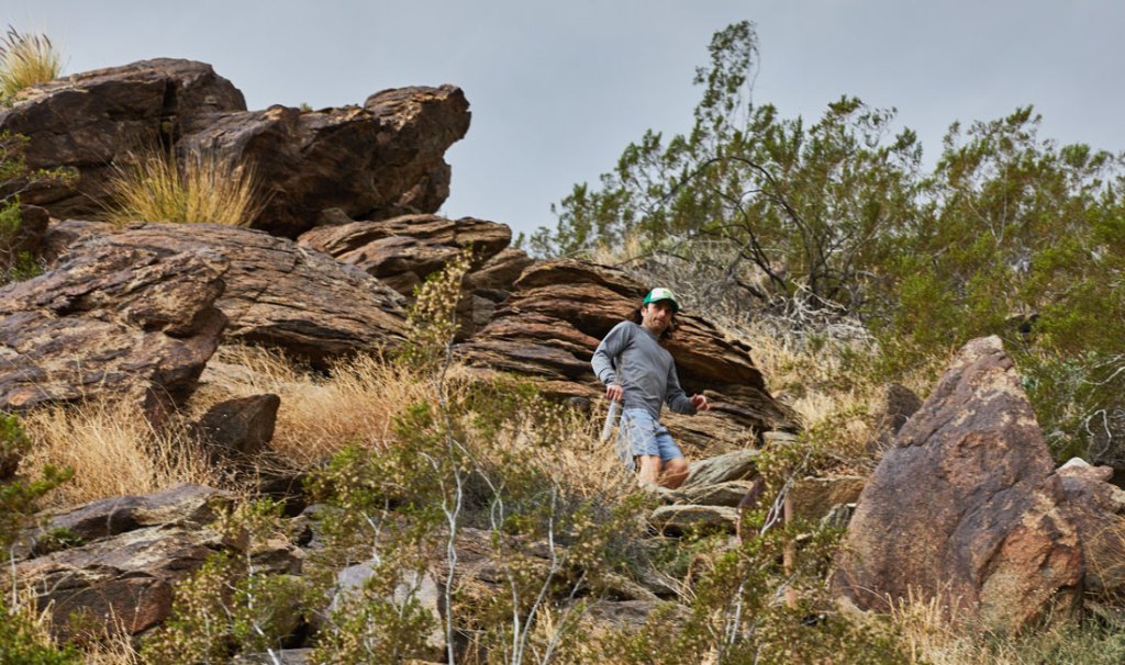
A hiker descends a steep pitch along the Cactus to Clouds Trail.
This famous trek is famously difficult, and a look at the map reveals why: It’s a 10,444-foot climb straight out of downtown Palm Springs to the peak of Mount San Jacinto. It’s about 12 miles to get to the summit, and yet it is still easy to underestimate. It’s one of the steepest trails anywhere, and there’s no reliable water along the route. “People die on that trail every year,” Barrows says. With that in mind, here’s a cheat: Take the aerial tram ride ($25) to what is nearly the summit and hike from there. Or hike all the way up and take the tram back down. From the top, you have a great view of Southern California.
The Guadalupe Trail
Location: 31 miles southeast of Palm Springs
Length: 5.8 miles point to point
Difficulty Rating: Difficult
Best For: A desert adventure
Dogs: No dogs
The most important thing to know about the Guadalupe Trail is that it’s not well marked and is therefore easy to get lost on. That said, it’s one of the region’s best hikes, with 5,200 feet of elevation gain that begins at sea level. The terrain changes dramatically as it winds through all of the mountains on the south side of the Coachella Valley section of the Santa Rosa and San Jacinto Mountains National Monument, from the shores of the Salton Sea all the way to Mount San Jacinto. You’re unlikely to see another human on this hike, but there are ample lizards, birds and small mammals.
Photos by Winston Ross
