Despite being the second-densest major city in the United States, San Francisco Bay Area has an abundance of outdoor activities, especially if you prefer to adventure on two wheels. The hills may be daunting, but don’t worry. Whether you’re looking to ride road, dirt or gravel, the City by the Bay has rides for every skill level, from flat, beginner-friendly jaunts to advanced hill climbs. Here are a few favorites to get you started.
The Great Highway
Type: Road
Miles: 5
Difficulty: Easy
Beachfront wanderers will appreciate a pedal along the Great Highway, the stretch of blacktop separating the city’s western edge from the Pacific Ocean. Start amid the cypress trees of Lands End park and the Sutro Baths—an old bathhouse that burned down in the 1960s—and take the road downhill for a flat cruise along Ocean Beach. It’s about a 5-mile ride on along the highway to Lake Merced and Fort Funston to the south. Hop off the saddle and keep an eye out for hang gliders and whales passing along the horizon from atop the region’s famous bluffs.
The Wiggle to Golden Gate Park
Type: Road
Miles: 5
Difficulty: Easy/Intermediate

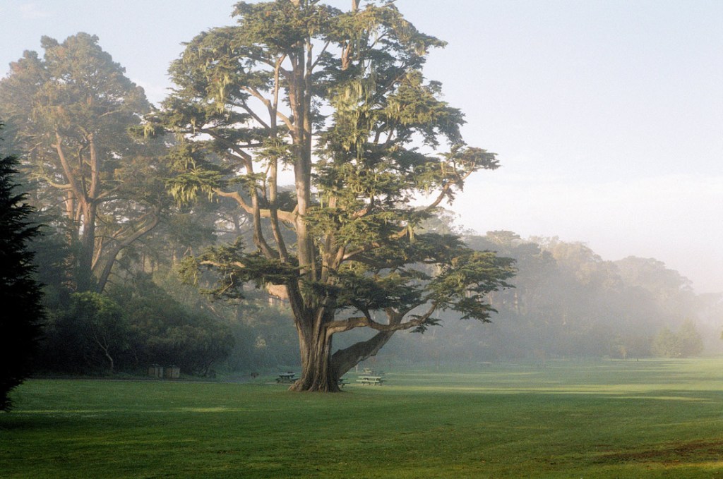
Golden Gate Park. (Photo Credit: Michael Fraley under CC BY 2.0)
If you don’t mind riding with traffic, the gentle, zigzagging bike route known as The Wiggle is a great way to take in the city, as it avoids San Francisco’s famously steep grades. Starting in the Mission District at the intersection of Market and Duboce Street, simply follow the green bike signs tagged with the number 30. The route snakes through the Lower Haight District to join up with another bike path at Panhandle park that will lead you into Golden Gate Park. From there, make your way west at your own pace through the green space’s 1,017 acres of lakes, meadows, museums and gardens to the historic Dutch Windmill on the Pacific coast or the Park Chalet Coastal Beer Garden for a post-ride pint.
Golden Gate Bridge to Tiburon
Type: Road
Miles: 8.2 (with Sausalito ferry)/17.1 (with Tiburon Ferry)
Difficulty: Easy/Intermediate
Riding over the Golden Gate Bridge should be on every cyclist’s bucket list. Sure, the bridge offers unparalleled views, but be sure to budget extra time to explore the quaint bayside towns of Sausalito and Tiburon north of the span. Starting at Fisherman’s Wharf, head west toward San Francisco’s Maritime Museum and Crissy Field before ascending to the bridge. From there, it’s 1.7 miles across to the Marin Headlands. If you grab the ferry back to San Francisco in Sausalito, you’ll only have 8.2 miles in the saddle. Or, if you’re up for it, follow the multiuse trail through Mill Valley and hop on the ferry in Tiburon for a 17-mile ride. Either way, there are plenty of coffee shops and bakeries to keep you fueled.
Mount Sutro Loop
Type: Mountain Bike
Miles: 3.3
Difficulty: Intermediate

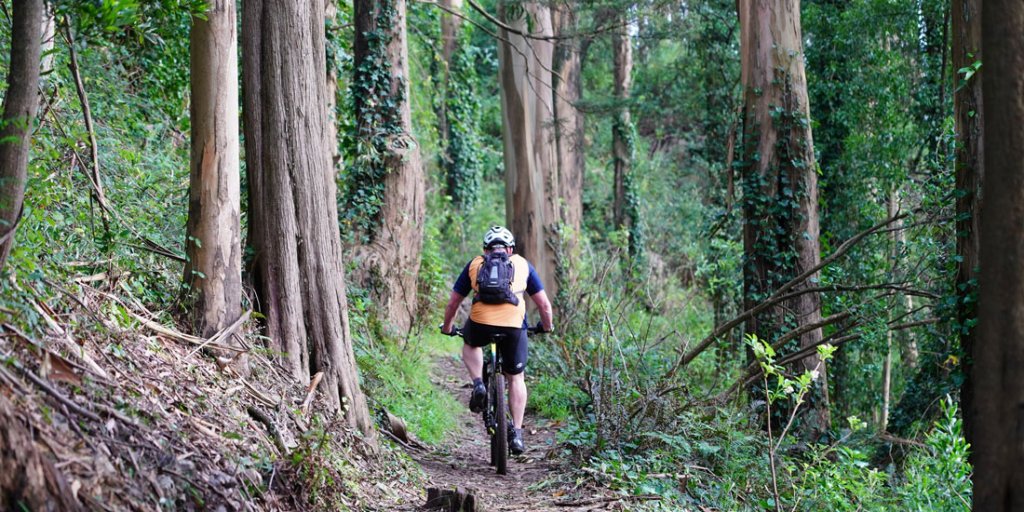
It’s easy to see why Mount Sutro is an urban oasis. (Photo Credit: Yang Liu)
It may be hard to believe, but there is mountain biking in the heart of San Francisco. Just head to Mount Sutro. The 61-acre reserve is blanketed with ferns, English ivy, blackberry bushes and eucalyptus trees through which you can catch glimpses of the charismatic city surrounding it. Starting on Stanyan Street, this multiuse loop gains just over 1,000 feet in 3.3 miles. From the peak, you can either descend the technical East Ridge Trail or the easier North Ridge. Be mindful of your speed: The singletrack snakes through the trees and sharp turns can approach quickly.
Hawk Hill Loop
Type: Road
Miles: 8
Difficulty: Intermediate
This road loop in the Marin Headlands is the region’s top choice for views of the Golden Gate Bridge, the Bay and San Francisco. Named for its migratory raptor population, Hawk Hill was once home to a World War II–era fortification. The loop can be adjusted to include a ride over the Golden Gate Bridge or a start just after to avoid extra mileage and uphill pedaling. The loop itself is just under 8 miles from Golden Gate Vista Point, but expect plenty of elevation gain as you navigate the hilly headlands. The views are so rewarding, though, you’ll want to test yourself against the climb again and again. Just be wary of other cyclists, runners and walkers as well as the unexpected fog and unpredictable weather that can drift in.
Old Railroad Grade
Type: Gravel/Mountain Bike
Miles: 7
Difficulty: Easy/Intermediate/Advanced

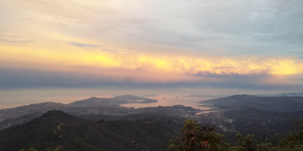
Downtown San Francisco as seen from the Mount Tram Loop. (Photo Credit: MTB Project contributor Bob Gardner)
This doubletrack fire road built along an old railroad grade is one of the easiest ways to approach the summit of Marin County’s 2,572-foot Mount Tamalpais. A great option for both gravel grinders and mountain bikers, the 7-mile trail climbs more than 2,000 feet and offers access to a wide variety of trails including the Mount Tamalpais Loop—not to mention views of rolling green hills, the Pacific coastline and the Bay on the distant horizon. Advanced gravel riders looking for extra mileage should start in Sausalito. After arriving at the top of Old Railroad Grade, proceed down Ridgecrest Boulevard to the Panoramic Highway, then turn on to Edgewood Ave to make your way back to town. While it’s a burley ride at 28 miles and 3,000 feet of elevation gain, it’s easy to find a hearty meal and beverage in Sausalito to cap off your ride.
Three Bears Loop
Type: Road
Miles: 25
Difficulty: Advanced

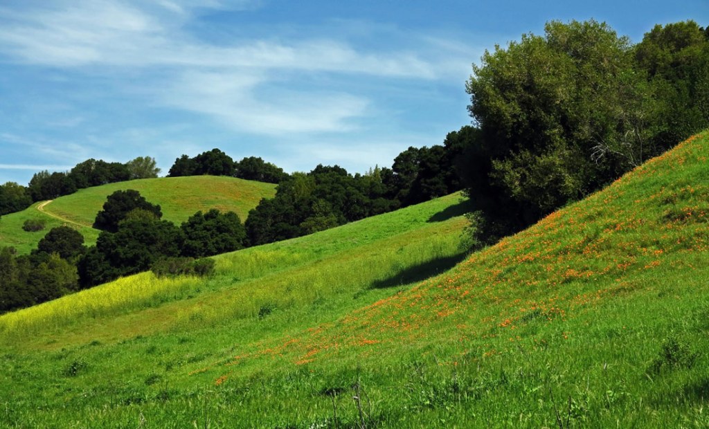
Wildflowers bloom at Briones Regional Park. (Photo Credit: David Abercrombie under CC BY-SA 2.0)
The Three Bears Loop is one of the East Bay’s most popular rides, and it’s well worth the trip across the Bay. Hop on the BART (Bay Area Rapid Transit) and head to the Orinda station. From there, the 25-mile loop travels along San Pablo Dam Road which provides glimpses of the shimmering San Pablo Reservoir. The road then rounds toward the loop’s namesakes, three relatively short climbs along a 10-mile stretch of Bear Creek Road deemed Mama Bear, Papa Bear and Baby Bear. The route continues through Briones Regional Park before dropping back down into the charming hill town of Orinda. After the spring rains, the land here teems with green hills and wildflower blooms.
