Trails are important to all of us as a way to experience nature. Whether we prefer hiking boots or a mountain bike, it’s important to give back to the trails we love. National Public Lands Day in September is a great time to volunteer at a nearby trail.
Last summer, REI asked its members to vote for 10 trails across the United States that needed care. Since then, volunteer crews have been working hard on the 10 chosen trails to create a better experience for users and the communities around them. Trail transformations have made it easier for many to get fresh air and enjoy nature closer to home.
Many parks and trails in our country still need attention. In honor of the National Environmental Education Foundation (NEEF)’s National Public Lands Day, REI is organizing volunteer projects this month all across the nation. Find a trail near you, sign up, and volunteer on September 24, 2016. Get dirty and feel good.
Here’s a progress report from some the 10 trails voted for last summer through REI’s Every Trail Connects campaign.
- California: Sierra Nevadas
- California: San Diego Region
- Colorado
- Georgia
- New York and New Jersey
- Minnesota
- Texas
- Washington
California’s Placer Land Trust Coon Creek to Bear River
In the past year, Placer Land Trust (PLT) and our volunteers have spent numerous hours designing, planning and building new trails—and we couldn’t be happier! Thanks to funding from REI’s Every Trail Connects campaign, we’ve added five miles of new trails at our Harvego Bear River Preserve and the adjacent parcel owned by the Bureau of Land Management.
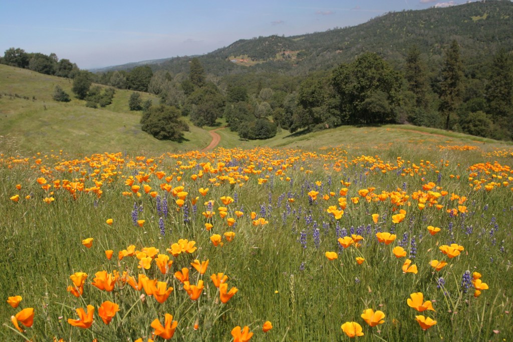
Photo by Loren Clark.
Our newest trails are located in the beautiful foothills of Placer County within the Sierra Nevada region. Traversing through the vast oak woodlands and switchbacks of this steep canyon terrain, outdoor enthusiasts experience a rapid gain in elevation of 600 feet before reaching the peak at Government Hill to enjoy amazing views of the Bear River and surrounding scenic valley below.
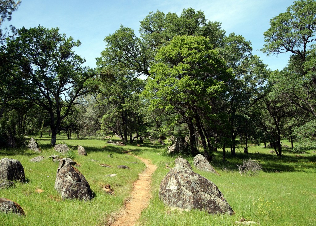
Photo by Susan Raines.
These new trails are part of our larger vision: the Coon Creek to Bear River trail system which, when completed, will include about 20 miles of multiuse trails for the public to enjoy. Currently, our trails are enjoyed by the public during our docent-led hikes, giving boot-wearers monthly opportunities to get out and connect with the natural landscape and enjoy the picturesque views. Our most popular summer hikes are our Moonlight hikes, which take place on or near the full moon. We are excited that sometime in the near future, the Coon Creek end of our trail system will connect to the trails at Hidden Falls Regional Park, a park operated by Placer County which currently has over 30 miles of trails. This will create a massive trail system spanning over 50 miles of trails for not just hikers but mountain bikers, equestrians, photographers and nature lovers of all kinds.
Board member and trail volunteer, Jim Haagen-Smit, shared, “There is nothing that makes me happier than seeing all these activities on trails I’ve been so involved with, connecting the community with the outdoors—except, of course, when I’m out riding or hiking myself.”
California’s River Path Del Mar at San Dieguito Lagoon
The River Path Del Mar provides a scenic overlook of the San Dieguito Lagoon and River, complete with interpretive signage of the flora and fauna of the River and Lagoon. The path parallels the south edge of the river, providing beautiful water and wildlife views and information regarding this important wetland and natural resource. The San Dieguito River Valley Conservancy (SDRVC) raised over $170,000 for the project, including $7,000 from REI to match grants and other funding from the County of San Diego and City of Del Mar to fund this project.
As part of REI’s Every Trail Connects campaign, SDRVC and the City of Del Mar partnered with REI for a service project on Saturday, September 26, 2015—National Public Lands Day, a day dedicated to volunteer efforts to improve, maintain and care for public lands. About 100 volunteers joined us at the site of the River Path at San Dieguito Lagoon to clear debris and prepare the site for construction of the River Path.
After months of planning and fundraising, the new extension of the River Path Del Mar, along the southern side of the San Dieguito Lagoon east of Jimmy Durante Blvd., is open! The community celebrated with a ribbon cutting ceremony and “first walk” on Lagoon Day, May 21, 2016.
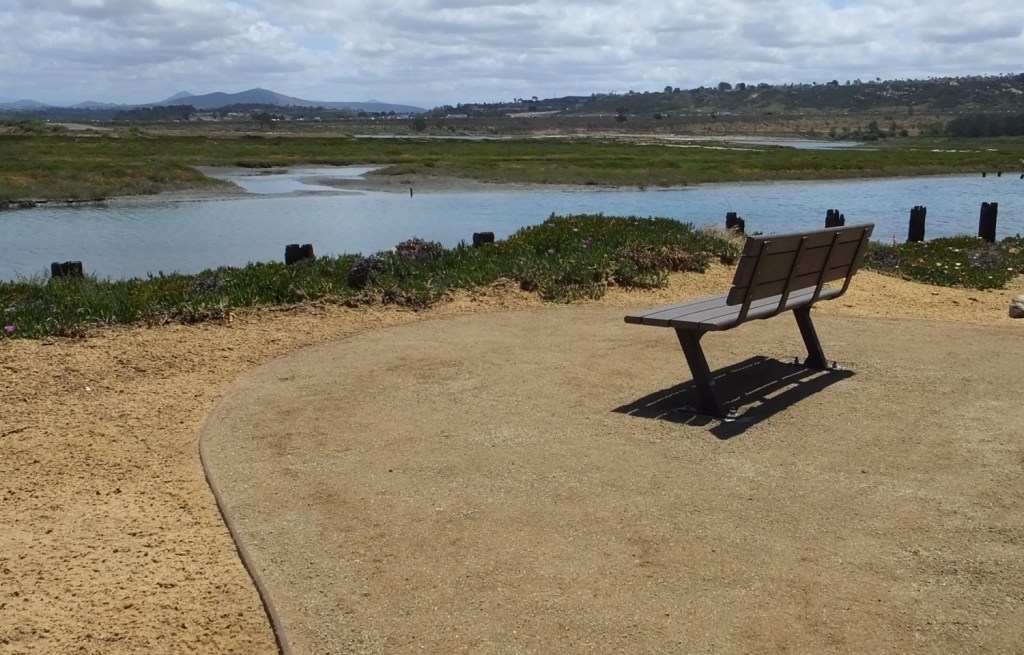
Photo by Delle Willett.
The trail looks beautiful and provides a peaceful, scenic overlook of the Lagoon. People of all ages and abilities are using the River Path regularly, and it is an additional feature for hikers of the nearby Coast to Crest Trail at the San Dieguito Lagoon to enjoy.
Colorado’s Mount Columbia Summit Trail
Written by Lloyd F. Athearn, CFI Executive Director
Colorado Fourteeners Initiative (CFI) has hit the ground running on the start of a four-year plan to construct a sustainable ascent route on Mount Columbia, one of Colorado’s 14,000-foot peaks in the Sawatch Range. To date CFI’s three project leaders and the 11-member Rocky Mountain Youth Corps crew working under their direction have put in more than 5,232 hours building the new summit trail. Work will continue through mid-September when snow blankets this high-elevation worksite and stops progress for the season.
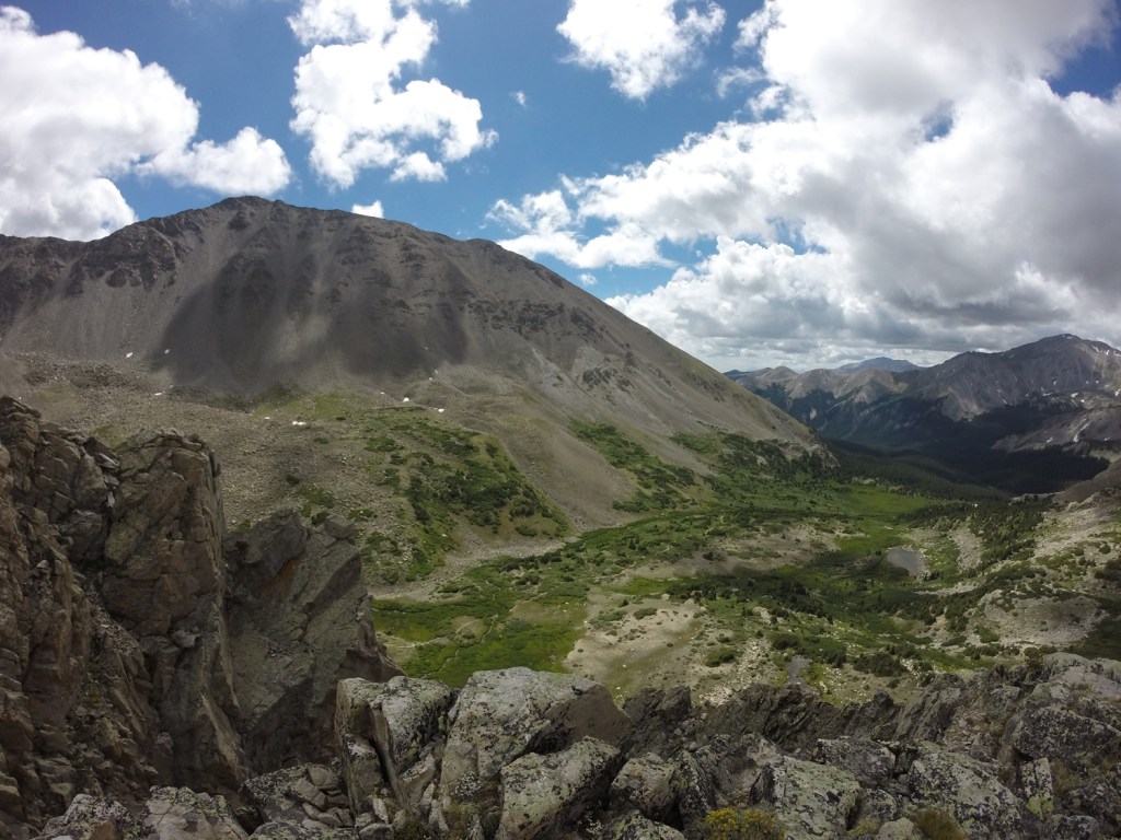
As with most CFI-built trails, the work is arduous, physically demanding and slow. This year’s goal is building less than a half-mile of trail. Rocks found on site are moved by hand or with primitive hand tools to build complicated soil retention structures, including retaining walls and staircases.
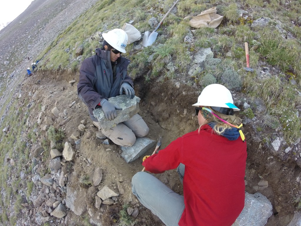
These features protect the rare and fragile alpine tundra vegetation and thin alpine soils that can easily (and unknowingly) be destroyed by 14er hikers. CFI estimates that 3,000–5,000 people climb Columbia annually, a level of use that can cause substantial impacts on rare plants without a properly constructed trail.
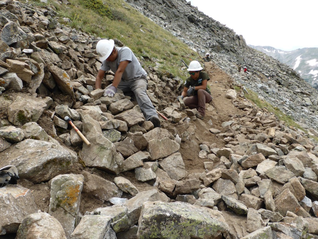
The good news this year is that there’s an abundance of natural rock near the planned trail corridor with which to build the new trail’s features. However, work is now progressing up the mountain to the point where little rock of buildable size exists. By next season most of the rocks used in construction will need to be lowered carefully down hundreds of feet on a highline tram system, a tedious and challenging activity.
Funding from the REI’s Every Trail Connects grant, the Colorado State Trails program and the U.S. Forest Service is covering the roughly $150,000 cost of this year’s work. All told the five-year project—four for construction, one for stabilization and restoration of the old, climber-trampled route—is anticipated to be close to $750,000.
Georgia’s Cumberland Island Trail Restoration Project
From its protection as a national seashore in 1972, to the designation of its backcountry as wilderness in the early 1980s, Cumberland Island is a national treasure long championed by the Georgia Conservancy. A little background: The park service’s daily limit of 300 visitors to the island (the only access is by boat) prevents overuse of Cumberland Island’s backcountry. But, as a result, many of the existing trails on the island—trails that have introduced a new generation of Cumberland Island advocates and stewards—had become increasingly overgrown and therefore often avoided. The island’s trail system presented potentially confusing and dangerous situations for many hikers.
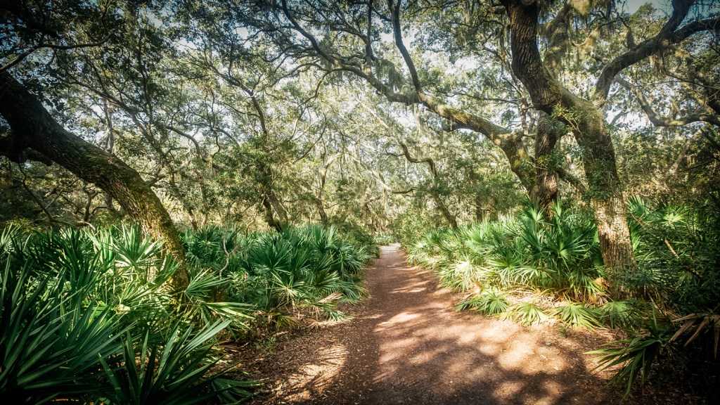
Thanks to REI’s Every Trail Connects campaign (and a big thank you to everyone who voted last summer for Cumberland Island!), the Georgia Conservancy was able to spearhead an eight-month-long restoration project on the island under the leadership of Laura Buckmaster. Dozens of service groups were led into Cumberland’s backcountry to restore existing trails, allowing for the safe exploration of wilderness by hikers and backpackers.
Your support realized important goals:
- All 50 miles of trails on Cumberland Island National Seashore have been restored, marked with improved signage and GPS mapped
- The first ever GPS-enabled map of Cumberland’s wilderness hiking trails will be available in print and for download this fall (Cumberland’s current maps are either hand-drawn or out of date)
And a few stats:
- Work was performed by 33 separate service groups
- A total of 450 volunteers provided service on Cumberland
- In all, the Georgia Conservancy spent 900 hours leading volunteers
- And, a grand total of 6,300 total volunteer hours were contributed to restoring Cumberland Island’s trails!
Follow the Cumberland Island Journal for updates from Laura Buckmaster and the Georgia Conservancy.
New York and New Jersey’s Appalachian Trail at Bear Mountain State Park
Over the last decade, the Appalachian Trail on Bear Mountain in New York’s lower Hudson Valley has undergone one of the most ambitious trail restoration projects in the nation. Thanks to the generous support of REI, the New York–New Jersey Trail Conference’s final push to make this section of the A.T. sustainable for the 2.5 million annual visitors to Bear Mountain State Park has reached some impressive milestones.
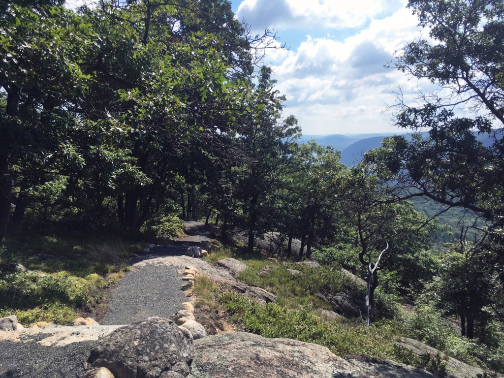
Photo by Amber Ray.
By the end of 2016, funding from the Every Trail Connects is expected to have supported the construction of more than 500 linear feet of the Appalachian Trail on Bear Mountain. To date, that includes 41 stone stairs—each weighing approximately 900 pounds—installed, and 310 square feet of crib wall built.
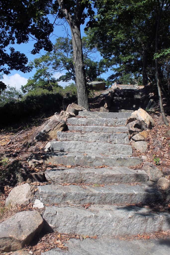
Photo by Amber Ray.
Just as the very first section of the Appalachian Trail—built through Bear Mountain State Park—was constructed by Trail Conference volunteers, so too is this incredible reroute. Under the guidance of the Trail Conference’s professional trail builders and four AmeriCorps members serving on our Conservation Corps’ Megalithic Crew, 177 volunteers have contributed to this project so far in 2016, giving a total of 1,247 hours.
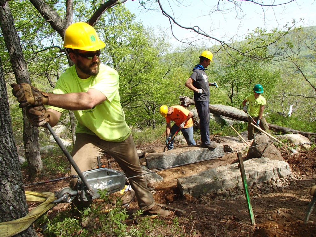
Photo by Jerrica Lavooy.
With an estimated 614 feet of relocated trail remaining to finish this restoration project, the new Appalachian Trail on Bear Mountain is scheduled for completion in the fall of 2017. It will cap off a spectacular ascent of the mountain for the park’s visitors, providing a truly one-of-a-kind opportunity to connect with nature.
Minnesota’s Superior Hiking Trail
As the Superior Hiking Trail Association celebrates its 30th anniversary in 2016, the year has been all about connections.
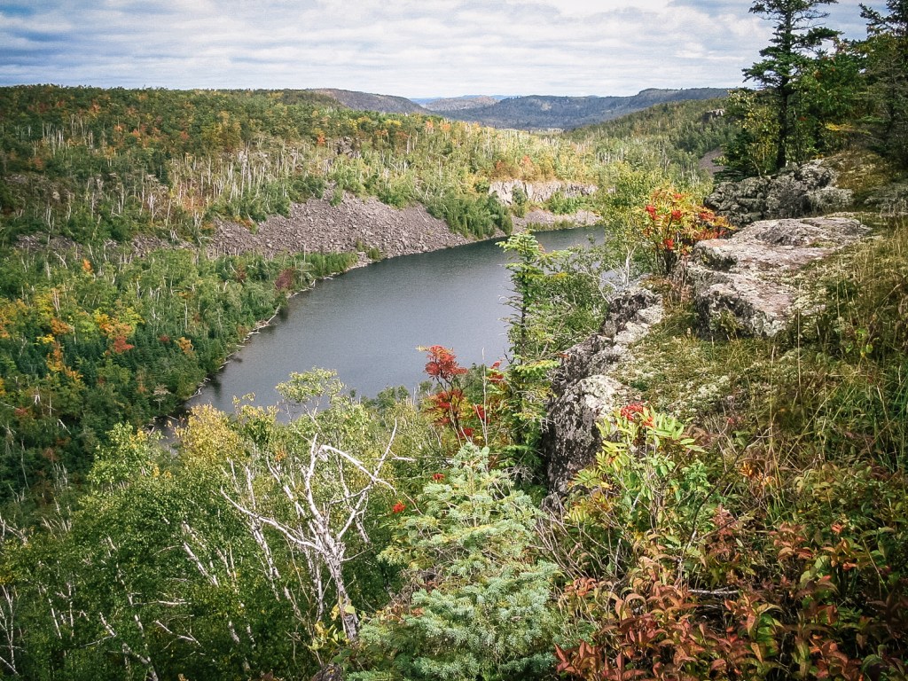
With the support of REI’s Every Trail Connects campaign, the biggest triumph of the year has been building the final section of the Superior Hiking Trail (SHT), which will shift the trail’s southern terminus from a backcountry dirt road to a trail at the Minnesota/Wisconsin border south of Duluth, Minn. At that border, the SHT will connect to the North Country National Scenic Trail, which an ambitious hiker could follow to reach the mountains of New York or the grasslands of North Dakota. Over 375 volunteer hours have gone into building this new section of trail. More volunteer work will be needed in 2017 to construct a bridge over the Red River in order to complete the section.
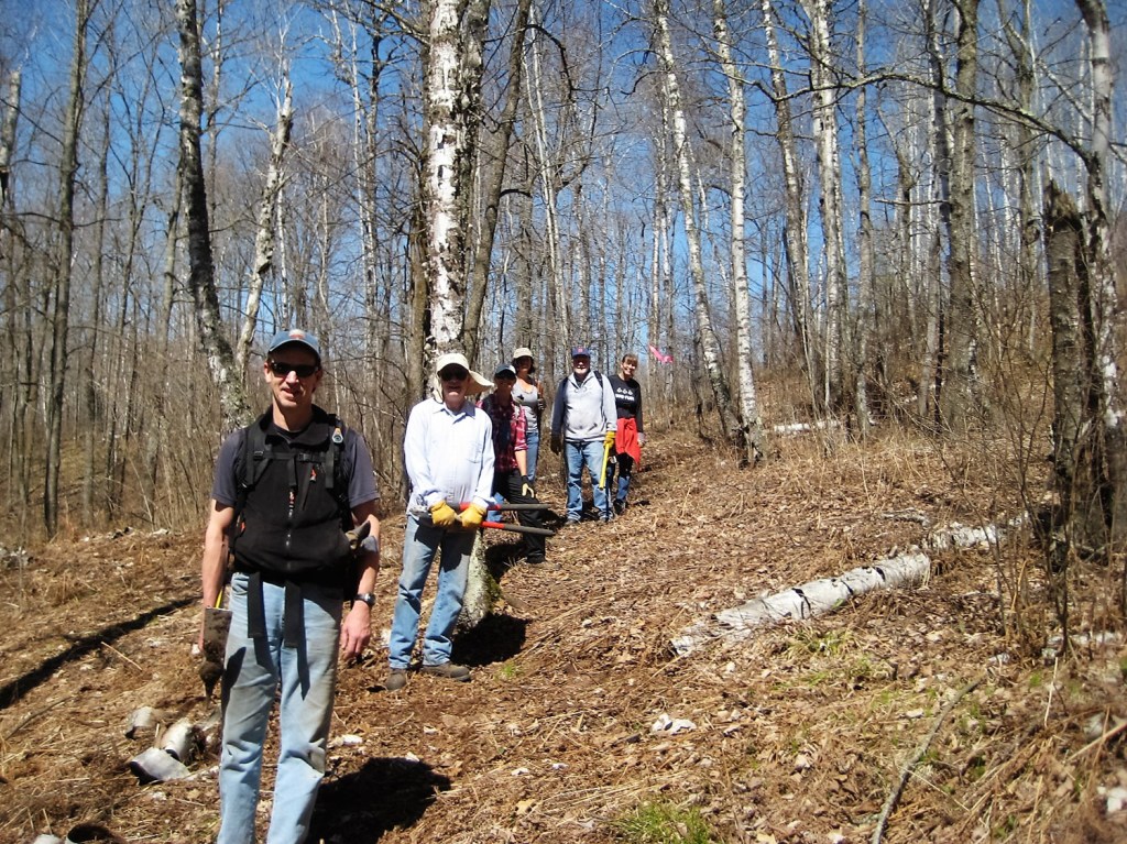
Another great success has been the construction and completion of the Brewer Park Loop in Duluth. Built in partnership with the city’s St. Louis River Corridor Recreation Initiative and Every Trail Connects, almost 400 volunteer hours went into this 3.4-mile hike. This is the Superior Hiking Trail’s southernmost loop, which features rock outcrops, maple forests and incredible views of Lake Superior.
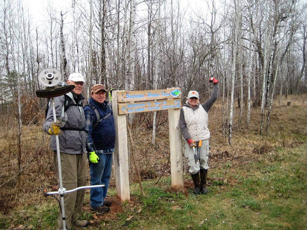
Volunteers have also helped to build a significant reroute of the Superior Hiking Trail between Gooseberry Falls State Park and Split Rock Lighthouse State Park, two of the North Shore’s most popular and beautiful state parks. The new route will shift the trail from a paved bike trail and dirt road to a three-mile-long wild trail on public land. The reroute is slated to open in 2017.
With the support from REI’s Every Trail Connects campaign, the Superior Hiking Trail Association is planning some major bridge projects for 2017, including significant work on the Split Rock River bridge, a critical link in one of the most popular day hikes along the trail.
Over 6,000 volunteer hours go into maintaining and building the Superior Hiking Trail each year.
Central Texas’s Violet Crown Trail
The Violet Crown Trail (VCT) is on its way to becoming the crown jewel of Central Texas, providing a 30-mile corridor from Austin’s urban core out to rural natural areas in Hays County. The trail will offer residents a new place to hike and bike, with access to the wonderful green space that has made Austin such an attractive place to live, work and play.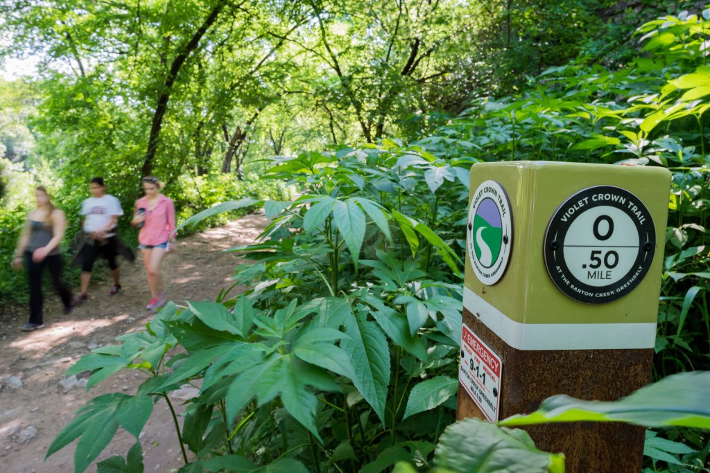
Photo by Erik Pronske.
Thanks to the direction of the Hill Country Conservancy (HCC) and with the help of REI’s Every Trail Connects campaign, six miles of trail are now open to the public starting at Austin’s Zilker Park; seven miles through south Austin are under construction; and the final 17 miles (through the community of Sunset Valley and eventually to the Lady Bird Johnson Wildflower Center) are in permitting. Central Texans have stepped forward to embrace and support the trail through its completion.
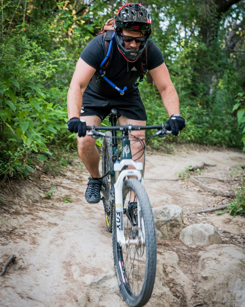
Photo by Erik Pronske.
When REI announced its Every Trail Connects campaign in 2015, this new section of trail had not officially opened to the public. But with the excitement and momentum the campaign brought, the HCC decided to wrap up the finishing touches and host a ribbon cutting to coincide with the rollout of Every Trail Connects. The historic moment featured Sunset Valley mayor Rose Cardona, Austin City Council member Ellen Troxclair, and HCC’s executive director George Cofer.
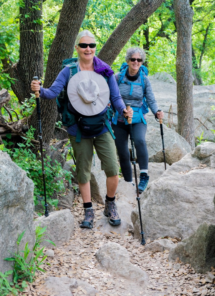
Photo by Erik Pronske.
“Projects like this where we are preserving something for the community for future generations and making something available to every member of Austin or Sunset Valley or all of the visitors that come here to enjoy it, I think that’s something very special and something to be very proud of,” said Troxclair.
With the help and support from the community and businesses, HCC has been able to make huge strides in opening the next seven miles. This section will pass through seven neighborhoods, three retail centers, and parks in two different cities. The corridor for these seven miles has been cut and trail construction is underway, with wayfinding, bridges and other infrastructure following soon after.
“I have seen an amazing variety of people on the trail, from rock climbers to hardcore trail runners to folks walking with their grandkids,” said Madeline Enos, an HCC volunteer. “The trail is already well-used and appreciated; I know that love will continue to amplify as we open new sections.”
Each day an estimated 200 people enter the new trailhead at Hwy 290 and Brodie Lane, about a third of whom are mountain bikers. The numbers continue to climb as HCC works with community partners to maintain what’s open and implement training and educational programs for the community.
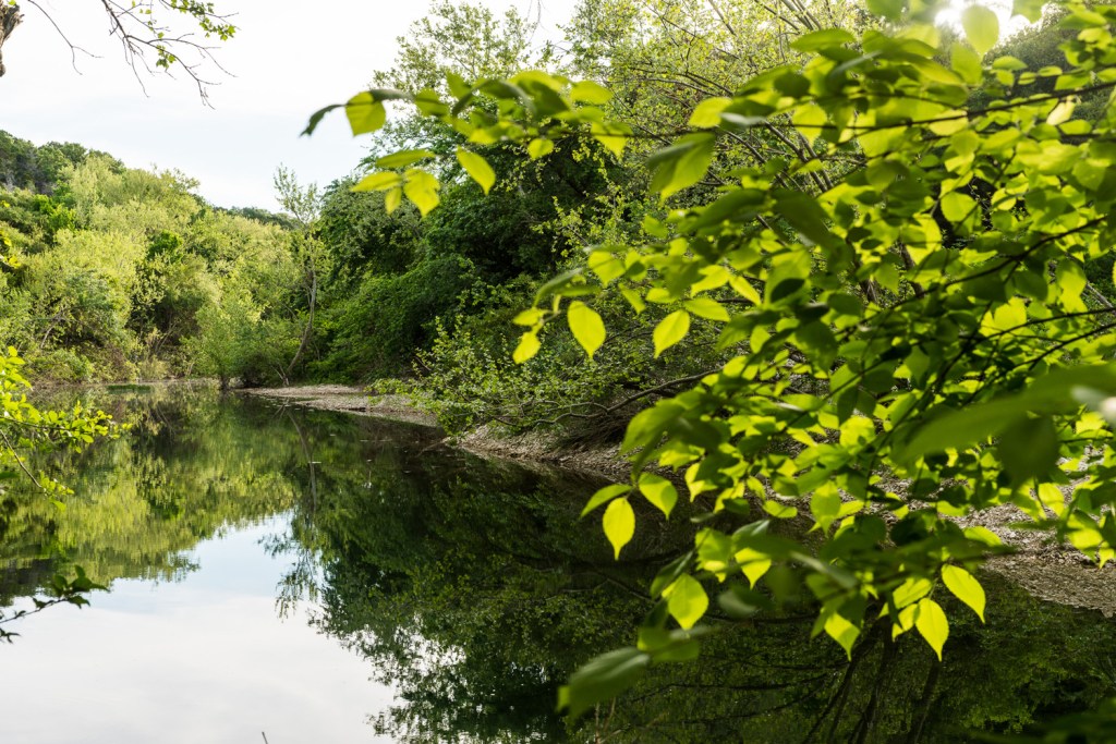
Photo by Erik Pronske.
People interested in helping maintain the VCT can sign up to volunteer here. The next public opportunities for volunteering are the National Public Lands Day on September 24, 2016, and the Austin Park Foundation’s It’s My Park Day on November 5, 2016.
Washington’s Middle Fork Snoqualmie River Trail
Written by Kate Neville, WTA Development Director.
The Middle Fork of the Snoqualmie River Valley offers a natural haven for anyone living in or visiting the greater Seattle area. And thanks to a collaborative partnership between REI, Washington Trails Association (WTA), the Mountains to Sound Greenway Trust, and the U.S. Forest Service, hikers are finding new ways to explore this beautiful area. Other groups are also pitching in to help make the trail accessible again, including Back Country Horsemen of Washington, Evergreen Mountain Bike Alliance, and the National Forest Foundation. Specifically, funding from the Every Trail Connects program is helping make substantial repairs to the popular Middle Fork trail.
Thanks to REI, the Greenway Trust and WTA are collaborating with the U.S. Forest Service Snoqualmie Ranger District and many other partners to improve recreation opportunities in the Middle Fork Snoqualmie River Valley. Our goal is to allow this beautiful area to sustainably accommodate the anticipated growth in recreation use by hikers, bikers, families and outdoor enthusiasts. Learn more here. 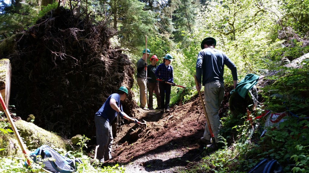
Trail volunteers hard at work along the Middle Fork. Photo by LeeAnne Jensen.
Work is already underway! This year, volunteers from WTA and the Greenway Trust have already logged over 600 hours on the Middle Fork river trail, thanks to funding from REI–the work continues. Activities include drainage and tread maintenance, brushwork, and building puncheon bridges through wet, muddy areas. For example, this past spring our hardworking crew took on a massive blowdown that was blocking the trail and made the route inaccessible to all but the hardiest explorers. Greenway Trust staff and trail crews also helped the U.S. Forest Service and other partners complete some of the log out and removal of downed trees after a particularly harsh winter. This work is providing essential access for the next phase of this project, a major reroute which will take place in late 2016 and 2017.
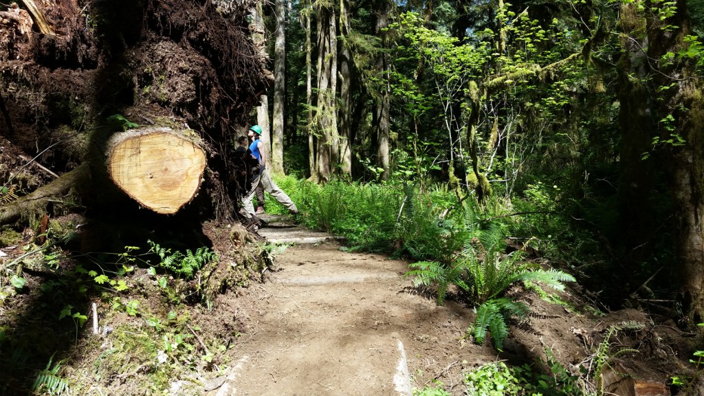
Repaired trail after blowdown removal. Photo by LeeAnne Jensen.
Not only is this work benefiting hikers and other trail users, but the volunteers find it rewarding as well. Said volunteer Haeli Rowland, “My Papa, Gabe Smith (an assistant crew leader for WTA), first introduced me to WTA and the first trail I worked on. I instantly loved it! Even if it’s your first time on a trail, the leaders and assistant crew leaders make you feel welcome. Every trail I’ve been on with my Papa, I’ve had so much fun getting down and dirty! In two years I’ll be old enough to join a WTA youth volunteer vacation. I can’t wait!”
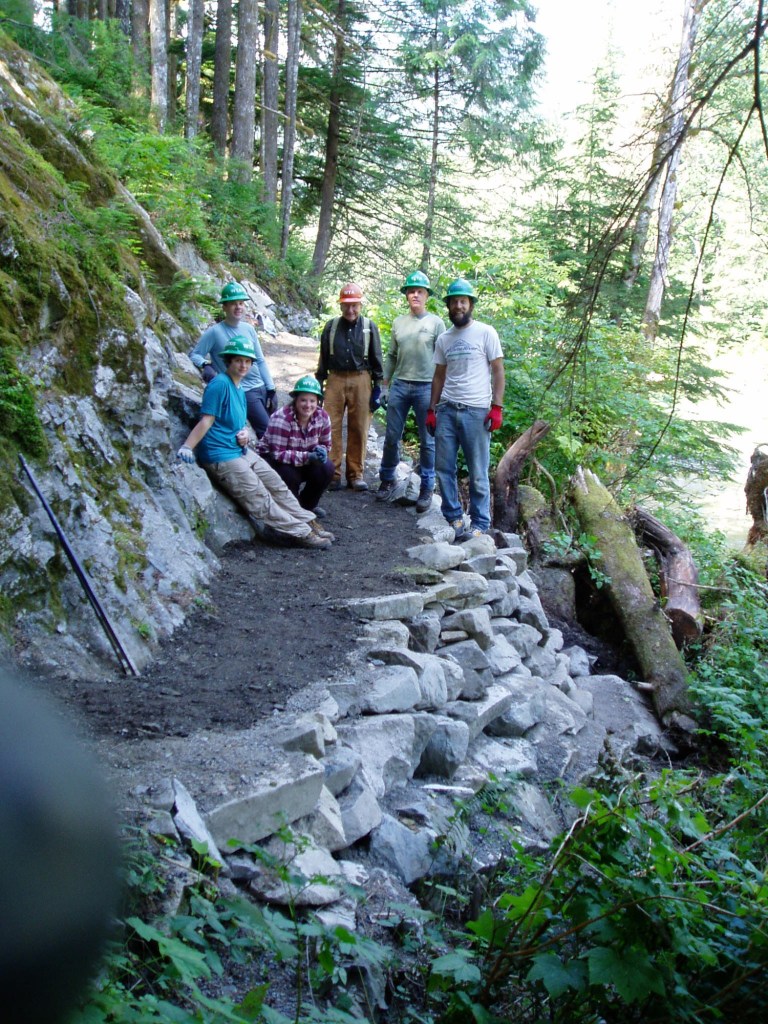
A job well done. Photo by Jay Schram.
This project is just one of dozens of WTA trail work projects taking place throughout the state of Washington. Each year more than 4,400 volunteers help WTA maintain more than 180 trails around the state. Join us! No experience necessary.
Check out WTA’s volunteer page to learn how you can help with this and other trail projects. WTA and the Greenway Trust will both be organizing volunteer events in the Middle Fork Valley on National Public Lands Day. Join the after-party at Valley Camp at the end of the day.
Learn more the remaining two trails that participated in the Every Trail Connects campaign: California’s Backbone Trail and Massachusetts’s Bay Circuit Trail.


