In 1992, I became plus-or-minus the 30th person to thru-hike the Colorado Trail. Though today the 485-mile trail is signed, marked, mapped and waypointed well enough that a hiker or mountain biker can travel all the way from Denver to Durango with minimal fear of experiencing orientational discombobulation, it wasn’t so three decades ago.
The tread was still evolving, as sections that followed old road beds and burro trails were moved onto permanent, dedicated singletrack. The first edition of the original guidebook had been published—but was outdated almost before it came off the press. A primitive series of maps had been issued by the nascent Colorado Trail Foundation, but a hiker relied upon them at their own peril. It was an exciting time to be wandering along a footpath with an average elevation of more than 10,000 feet.
I had arrived at the old Beartown site in the San Juan Mountains with minimal mishap, but a major re-route project had been completed less than a half-mile from camp literally the weekend before. It had not yet been signed. Consequently, I strayed, and next thing I knew, I was headed (I later learned) toward Stony Pass on an ancient stock route at the same time that a weather front moved in. Visibility was reduced to the end of my nose. The temperature plummeted, and a captivating mix of thick fog, snow, sleet, rain and gale-force wind added to what was fast becoming an uncomfortable situation.
I knew I was not on the right trail, but I could not eyeball a way out of my predicament. And so I spent the next three hours walking back and forth, hoping to reconnect with the CT at the same time I was hoping to not fall off a cliff or expire from hypothermia. The first tendrils of panic visited my psyche.

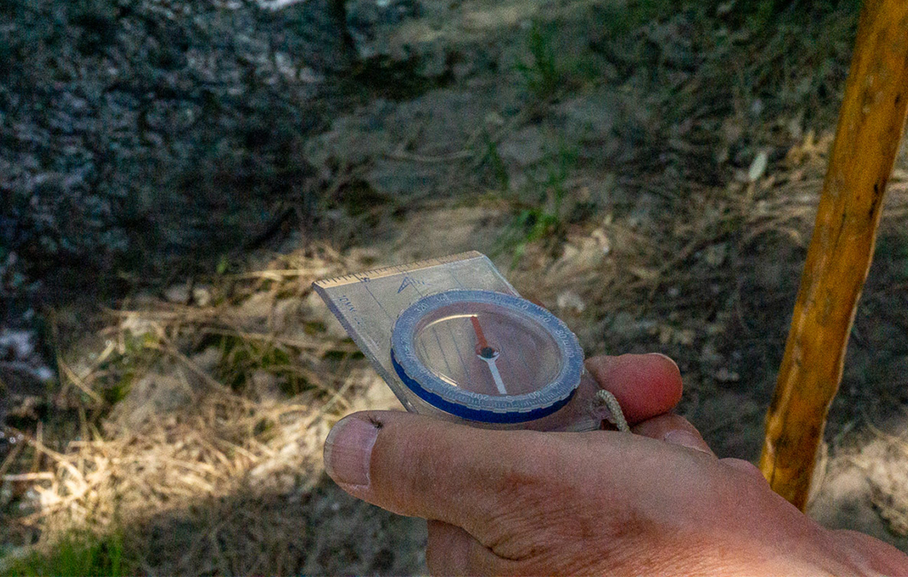
The writer uses his compass on a trail near his home in Silver City, New Mexico.
Suddenly, the wind died, allowing me to drop my pack and pull out my map and compass—an inexpensive Silva model that is likely no longer manufactured. I unfurled my map on the ground, anchoring its four corners with small rocks, and oriented it to proper declination with my Silva. In this way, I was able to ascertain which way I should be hiking even though the conditions still precluded me from observing the surrounding terrain.
From a ridge high above Elk Creek, I picked my way down to the CT, hoping against hope there would be no witnesses to ask about my unorthodox route selection. What had been scheduled as an easy three-hour stroll to Elk Park had morphed into an exhausting 20-plus-mile day that reminded me to never take things for granted out in the woods, to keep my wits about me no matter the circumstances and, perhaps most importantly, to never forget my compass.
These were fine learnings to hold as tenets because that was not the last time I would lose my way on a trail (or lack thereof). In 1996, I attempted the 800-mile Colorado section of the Continental Divide Trail, which contained gaps large enough that they might as well have been signed with giant question marks. I used that same Silva compass every day. Without it, I would still be wandering aimlessly between Park Mountain and the Mount Zirkel Wilderness.
The following year, I was among the very first people to thru-hike the Arizona Trail, which at the time was as much theory as tread. I carried a handheld GPS device, but had no idea how to use it. (The technology was also not as reliable as it is today.) And so, after several attempts at orienting myself and figuring out little more than how to leave a digital breadcrumb trail, I abandoned the 2-pound device and turned back to my trusty compass and 7.5-minute USGS quads that covered every inch of the AZT’s 800 miles. With the aid of the reliable duo, I was able to navigate my way from Utah to Mexico with only slight detours.
But use of my old compass is not reserved for rectifying or preventing route-finding mishaps on major trails. I regularly pull it out to locate and access the myriad nooks and crannies that surround me, even when I am not lost. (Much as I like to wander aimlessly, in the end, I prefer knowing where I am and where I am going.) And as analog orientation is a skill that benefits from repetition, much like practicing knot tying, I frequently sit on my front porch with my compass and overlay what I see on a map with what I see on a horizon. In a sense, this is a game to me. As some people spend time bingeing Netflix shows, tending to their gardens or filling out Sudoku puzzles and crosswords, I play with my compass.
I, like many hikers, avail myself of the latest technology, but my old Silva compass, now so used that most of its numbers are worn, still maintains a near-holy place in my trail ensemble. Whether I am day hiking on local trails I know like the back of my hand or backpacking in foreign realms, my compass remains in my right front pants pocket. From there it may point the way in a storm or, more likely, serve as a reassuring talisman or good-luck piece that reaffirms, first, that getting lost is not necessarily the end of the world, and, second, of all the things in this life that exist in head-spinning flux, the ordinal directions remain reliably constant.
